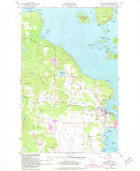
1954 Map of Friday Harbor
USGS Topo · Published 1981About this map
Friday Harbor serves as the focal point of this maritime landscape, anchored by its busy waterfront and the County Fairgrounds. The town's connection to the sea and science is evident at the Oceanographic Laboratories (Univ of Wash) along the shoreline. Moving inland, the terrain transitions into the agricultural Beaverton Valley, where the small settlement of Beaverton sits along the Beaverton Valley Road. To the west, the topography rises toward Cady Mountain, overlooking several small interior water bodies including Sportsmans Lake and Egg Lake.
Find a feature on this map
54 named features on this map. Tap any name to fly to it.
Don’t see what you’re looking for? This feature index may not catch every label — zoom into the map to look around manually.
Map Details
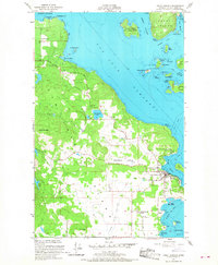
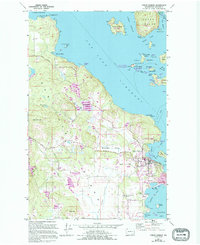
Editions of this 1954 Friday Harbor Map
4 editions found
Other maps of this area

1943 · Richardson
USGS Topo · 1:62,500

1943 · Orcas Island
USGS Topo · 1:62,500

1953 · Stuart Island
USGS Topo · 1:24,000

1954 · Roche Harbor
USGS Topo · 1:24,000

1954 · Waldron Island
USGS Topo · 1:24,000

1954 · Friday Harbor
USGS Topo · 1:24,000

1954 · False Bay
USGS Topo · 1:24,000

1957 · Richardson
USGS Topo · 1:62,500

1957 · Orcas Island
USGS Topo · 1:62,500

1957 · Victoria
USGS Topo · 1:250,000