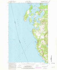
1954 Map of Roche Harbor
USGS Topo · Published 1981About this map
San Juan Island and Henry Island define the northwest corner of the archipelago, separated by the narrow currents of Mosquito Pass. This survey illustrates the area's transition from an industrial resource hub to a protected historical landscape, notably featuring the English Campsite (1859) at Garrison Bay, a remnant of the mid-19th-century boundary dispute between the United States and Canada. The economic history of the islands is etched into the terrain at Roche Harbor, where several Quarries and a Quarry indicate the area's once-thriving lime industry.
Find a feature on this map
48 named features on this map. Tap any name to fly to it.
Don’t see what you’re looking for? This feature index may not catch every label — zoom into the map to look around manually.
Map Details
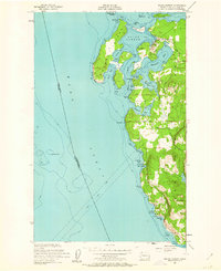
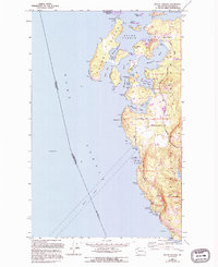
Editions of this 1954 Roche Harbor Map
4 editions found
Other maps of this area

1953 · Stuart Island
USGS Topo · 1:24,000

1954 · Roche Harbor
USGS Topo · 1:24,000

1954 · Waldron Island
USGS Topo · 1:24,000

1954 · Friday Harbor
USGS Topo · 1:24,000

1954 · False Bay
USGS Topo · 1:24,000

1957 · Victoria
USGS Topo · 1:250,000
1979 · Port Angeles
USGS Topo · 1:100,000
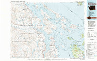
1981 · Roche Harbor
USGS Topo · 1:100,000
1997 · Waldron Island
USGS Topo · 1:24,000
1998 · False Bay
USGS Topo · 1:24,000