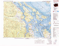
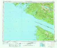
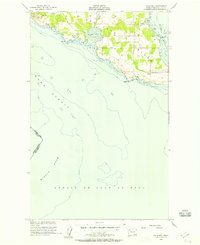
1981 Map of Roche Harbor
USGS Topo · Published 1989About this map
The borderlands of Washington and British Columbia are defined here by a complex network of islands and deep marine channels, including the Haro Strait and Georgia Strait. On the western edge, Vancouver Island features industrial and transit hubs like Duncan and Ladysmith, connected by the Esquimalt and Nanaimo Railway. The map details the transition from the Cowichan Ranges down to the coastal settlements of Crofton and Chemainus, where the landscape is carved by the Chemainus River and Cowichan River.
Find a feature on this map
70 named features on this map. Tap any name to fly to it.
Don’t see what you’re looking for? This feature index may not catch every label — zoom into the map to look around manually.
Map Details
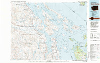
Editions of this 1981 Roche Harbor Map
2 editions found
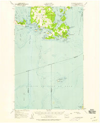
Other maps of this area

1943 · Richardson
USGS Topo · 1:62,500

1943 · Orcas Island
USGS Topo · 1:62,500
1952 · Point Roberts
USGS Topo · 1:24,000
1953 · Stuart Island
USGS Topo · 1:24,000
1953 · Cape Flattery
USGS Topo · 1:250,000
1954 · Roche Harbor
USGS Topo · 1:24,000
1954 · Waldron Island
USGS Topo · 1:24,000
1954 · Friday Harbor
USGS Topo · 1:24,000
1954 · False Bay
USGS Topo · 1:24,000
1957 · Richardson
USGS Topo · 1:62,500