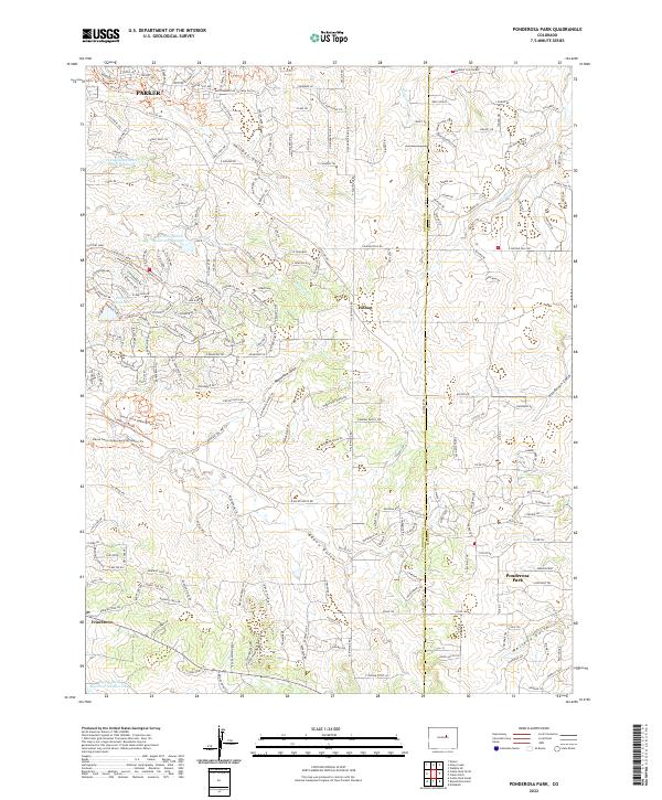
2022 Map of Ponderosa Park
USGS Topo · Published 2022About this map
Hilltop and Ponderosa Park anchor this landscape along the boundary of Douglas and Elbert counties, where the high plains meet the intricate drainage systems of the Palmer Divide. The map reveals a transition from traditional rural ranchlands to residential developments, characterized by an extensive network of named gulches and local reservoirs. Water management is central to the area's layout, seen in the Franktown Parker FPS 1 Reservoir and the Pinery Reservoir, which support the growing communities south of Parker.
Find a feature on this map
178 named features on this map. Tap any name to fly to it.
Don’t see what you’re looking for? This feature index may not catch every label — zoom into the map to look around manually.
Map Details
Editions of this 2022 Ponderosa Park Map
This is the sole edition of this map. No revisions or reprints were ever made.