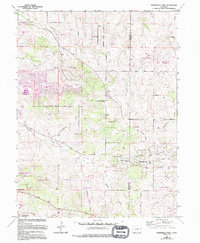
1966 Map of Ponderosa Park
USGS Topo · Published 1994About this map
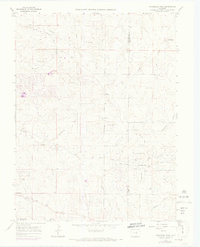
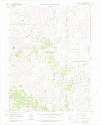
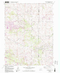
Hilltop and the southern edge of the Corporate Boundary near Parker Highlands anchor this mid-1960s landscape, which was later updated to show the suburban growth of the late 1980s. The terrain is defined by a series of deep drainage channels including Tallman Gulch, Moonshine Gulch, and Bayou Gulch that cut through the high plains. Residential developments like The Pinery, complete with its Golf Course, and Ponderosa Park illustrate the transition from traditional ranching lands such as Burning Tree Ranch to established commuter communities. Community life is centered around landmarks like the Faith Baptist Ch and the Mountain View Sch. Near the southern border, the village of Franktown sits near the Barney Bird Reservoir No 1, while an Old Railroad Grade provides a physical trace of the region's earlier transportation history.
Find a feature on this map
53 named features on this map. Tap any name to fly to it.
Don’t see what you’re looking for? This feature index may not catch every label — zoom into the map to look around manually.
Map Details
Editions of this 1966 Ponderosa Park Map
7 editions found
Other maps of this area

1890 · East Denver
USGS Topo · 1:125,000

1894 · Castle Rock
USGS Topo · 1:125,000

1913 · Castle Rock
USGS Topo · 1:125,000

1935 · East Denver Nos. 3 and 4
USGS Topo · 1:48,000

1939 · Elizabeth
USGS Topo · 1:62,500

1940 · Piney Creek
USGS Topo · 1:24,000

1940 · Castle Rock
USGS Topo · 1:62,500

1942 · Parker
USGS Topo · 1:31,680

1942 · Piney Creek
USGS Topo · 1:31,680

1945 · Castle Rock
USGS Topo · 1:62,500