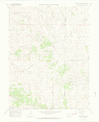
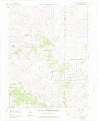
1966 Map of Ponderosa Park
USGS Topo · Published 1968About this map
Hilltop and the developing residential pockets of Ponderosa Park anchor this mid-1960s landscape along the Douglas and Elbert County line. The terrain is defined by a dense network of drainages including Tallman Gulch, Moonshine Gulch, and Bayou Gulch, which dictate the winding paths of rural routes like Mustang Road and Panorama Drive.
Find a feature on this map
29 named features on this map. Tap any name to fly to it.
Don’t see what you’re looking for? This feature index may not catch every label — zoom into the map to look around manually.
Map Details
Editions of this 1966 Ponderosa Park Map
7 editions found
Other maps of this area

1890 · East Denver
USGS Topo · 1:125,000

1894 · Castle Rock
USGS Topo · 1:125,000

1913 · Castle Rock
USGS Topo · 1:125,000

1935 · East Denver Nos. 3 and 4
USGS Topo · 1:48,000

1939 · Elizabeth
USGS Topo · 1:62,500

1940 · Piney Creek
USGS Topo · 1:24,000

1940 · Castle Rock
USGS Topo · 1:62,500

1942 · Parker
USGS Topo · 1:31,680

1942 · Piney Creek
USGS Topo · 1:31,680

1945 · Castle Rock
USGS Topo · 1:62,500