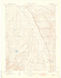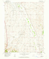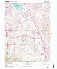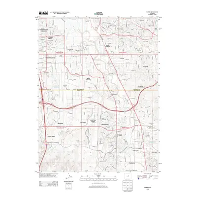
1942 Map of Parker
USGS Topo · Published 1942About this map
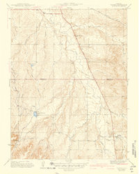
The town of Parker and the northern settlement of Melvin anchor this 1942 survey, documenting the drainage systems and early road networks south of Denver. The landscape is defined by the winding course of Cherry Creek and its many tributaries, including Piney Creek, Badger Creek, and Newlin Creek. This era of development is marked by significant water infrastructure, most notably the Arapaho Canal and its associated Lateral works, which supported early agriculture across the Arapahoe and Douglas County line.
Find a feature on this map
29 named features on this map. Tap any name to fly to it.
Don’t see what you’re looking for? This feature index may not catch every label — zoom into the map to look around manually.
Map Details
Editions of this 1942 Parker Map
This is the sole edition of this map. No revisions or reprints were ever made.
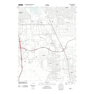
Historical Maps of Aurora Through Time
9 maps found