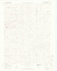
1966 Map of Ponderosa Park
USGS Topo · Published 1973About this map
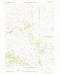
Franktown and Hilltop anchor the western and central portions of this 1960s landscape, which straddles the boundary between Douglas Co and Elbert Co. The area is defined by a dense network of drainage channels including Tallman Gulch, Moonshine Gulch, and Bayou Gulch, reflecting the high-plains topography. Development is concentrated around the planned residential layout of Ponderosa Park, where early suburbanization is evident through named thoroughfares such as Panorama Drive and Mustang Road. Local infrastructure at this time included a Landing Strip near Kinney Creek and a Pipeline cutting across the southwestern quadrant. An Old Railroad Grade traces a path through the eastern hills near Henderson Gulch, providing a physical record of former transportation corridors that once served the ranching or mining interests of the region before the 1971 aerial revisions.
Find a feature on this map
28 named features on this map. Tap any name to fly to it.
Don’t see what you’re looking for? This feature index may not catch every label — zoom into the map to look around manually.
Map Details
Editions of this 1966 Ponderosa Park Map
7 editions found
Other maps of this area

1890 · East Denver
USGS Topo · 1:125,000

1894 · Castle Rock
USGS Topo · 1:125,000

1913 · Castle Rock
USGS Topo · 1:125,000

1935 · East Denver Nos. 3 and 4
USGS Topo · 1:48,000

1939 · Elizabeth
USGS Topo · 1:62,500

1940 · Piney Creek
USGS Topo · 1:24,000

1940 · Castle Rock
USGS Topo · 1:62,500

1942 · Parker
USGS Topo · 1:31,680

1942 · Piney Creek
USGS Topo · 1:31,680

1945 · Castle Rock
USGS Topo · 1:62,500