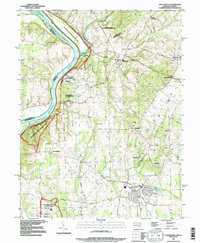
2023 Map of Poolesville
USGS Topo · Published 2023About this map
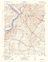
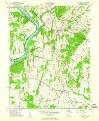
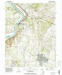
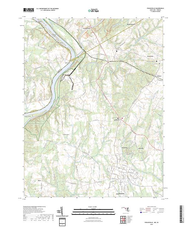
Poolesville serves as the central anchor for this part of Montgomery County, where the landscape transitions from established residential blocks to the expansive farmland of the Culpeper Basin. The meeting of the Monocacy River and the Potomac River defines the northern and western reaches, a corridor rich with transport history where the Chesapeake and Ohio Canal parallels the riverbank. This map tracks the movement of local life through the centuries, from the river crossings at Furnace Ford and Whites Ferry Road to the rail corridor of CSX Transportation. Small, distinct communities like Jerusalem, Jonesville, and Beallsville are interconnected by a network of rural roads such as Darnestown Road, while quiet landmarks like Saint Marys Catholic Cemetery and the Mount Pleasant Methodist Church Cemetery preserve the area's genealogical record.
Find a feature on this map
91 named features on this map. Tap any name to fly to it.
Don’t see what you’re looking for? This feature index may not catch every label — zoom into the map to look around manually.
Map Details
Editions of this 2023 Poolesville Map
This is the sole edition of this map. No revisions or reprints were ever made.
Historical Maps of Poolesville Through Time
6 maps found