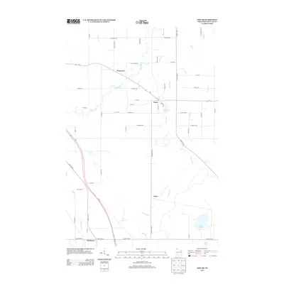
2013 Map of Poplar
USGS Topo · Published 2013About this map
Poplar and Wentworth anchor this northern Wisconsin landscape, where the drainage systems of the Middle River and Poplar River carve north toward Lake Superior. The terrain is defined by a transitional grid of rural roads and waterways, including the Poplar River Pond 28 and the headwaters of several creeks such as Erickson Cr and Lake Cr. In the southern portion of the map, the settlement of Hawthorne sits near the junction of major transit corridors like Us-53, reflecting the region's 21st-century infrastructure while maintaining its identity as a network of small, distinct communities. To the southeast, Steele Lake and Twin Lakes provide a contrast to the river-cut valleys, offering a look at the glacial lake pockets common in Douglas County. This survey illustrates how modern highway developments, specifically Us-2, have integrated with older townships and the natural riparian corridors of the area.
Find a feature on this map
52 named features on this map. Tap any name to fly to it.
Don’t see what you’re looking for? This feature index may not catch every label — zoom into the map to look around manually.
Map Details
Editions of this 2013 Poplar Map
This is the sole edition of this map. No revisions or reprints were ever made.
Other maps of this area

1945 · Highland
USGS Topo · 1:48,000

1945 · Solon Springs
USGS Topo · 1:48,000

1947 · Brule
USGS Topo · 1:48,000

1949 · Solon Springs
USGS Topo · 1:48,000

1949 · Poplar
USGS Topo · 1:48,000

1949 · Highland
USGS Topo · 1:48,000

1953 · Ashland
USGS Topo · 1:250,000

1954 · Lake Nebagamon
USGS Topo · 1:24,000

1954 · Poplar NE
USGS Topo · 1:24,000
1954 · South Range
USGS Topo · 1:24,000