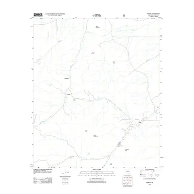
2012 Map of Portal
USGS Topo · Published 2012About this map
Galeyville and Paradise anchor this landscape in the eastern Chiricahua Mountains, marking areas where mining history and high-desert settlement meet. The map reveals a network of forest roads and canyons, notably Cave Creek Canyon leading toward the gateway of The Portal. Local genealogy is anchored by the Paradise Cem and scattered landmarks like the Bagwell Ranch.
Find a feature on this map
43 named features on this map. Tap any name to fly to it.
Don’t see what you’re looking for? This feature index may not catch every label — zoom into the map to look around manually.
Map Details
Editions of this 2012 Portal Map
This is the sole edition of this map. No revisions or reprints were ever made.
Other maps of this area

1917 · San Simon
USGS Topo · 1:125,000

1917 · Chiricahua
USGS Topo · 1:125,000

1919 · Chiricahua
USGS Topo · 1:125,000

1926 · Cochise Head
USGS Topo · 1:62,500

1926 · Rodeo
USGS Topo · 1:62,500

1926 · Rucker
USGS Topo · 1:62,500

1928 · Chenoweth
USGS Topo · 1:62,500

1950 · Cochise Head
USGS Topo · 1:62,500

1950 · Vanar
USGS Topo · 1:62,500

1951 · Vanar
USGS Topo · 1:62,500