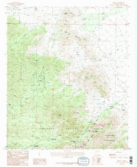
1987 Map of Portal
USGS Topo · Published 1987About this map
The Chiricahua Mountains define this high-desert landscape in southeastern Arizona, where old mining sites and small mountain settlements are scattered among the canyons. The historic Galeyville (Site) and nearby Paradise reflect the area's prospecting past, supported by the presence of the Cochise Mine and several other mine shafts near Davis Mountain. The map details a transition from resource extraction to conservation and research, shown by the establishment of the Coronado National Forest and the Chiricahua Wilderness.
Find a feature on this map
48 named features on this map. Tap any name to fly to it.
Don’t see what you’re looking for? This feature index may not catch every label — zoom into the map to look around manually.
Map Details
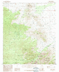
Editions of this 1987 Portal Map
2 editions found
Other maps of this area

1917 · San Simon
USGS Topo · 1:125,000

1917 · Chiricahua
USGS Topo · 1:125,000

1919 · Chiricahua
USGS Topo · 1:125,000

1926 · Cochise Head
USGS Topo · 1:62,500

1926 · Rodeo
USGS Topo · 1:62,500

1926 · Rucker
USGS Topo · 1:62,500

1928 · Chenoweth
USGS Topo · 1:62,500

1950 · Cochise Head
USGS Topo · 1:62,500

1950 · Vanar
USGS Topo · 1:62,500

1951 · Vanar
USGS Topo · 1:62,500