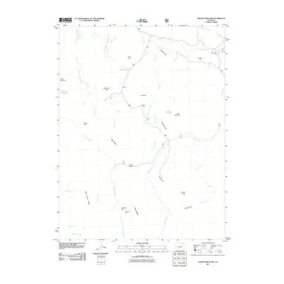
2011 Map of Porter Mountain
USGS Topo · Published 2011About this map
The Flat Tops dominate the southwestern portion of this 2011 survey, marking a high-elevation landscape defined by plateaus and a sophisticated network of irrigation systems. Water management is a primary feature of the region, evidenced by the Elizabeth Ditch, Castle Ditch, and Carnahan Ditch Number 1, which divert flows across the rugged terrain near Lenna Peak and Baldridge Point. These ditches reflect the area's agricultural and ranching history, supporting life on flats like Lowell Flat and Porter Flat.
Find a feature on this map
46 named features on this map. Tap any name to fly to it.
Don’t see what you’re looking for? This feature index may not catch every label — zoom into the map to look around manually.
Map Details
Editions of this 2011 Porter Mountain Map
This is the sole edition of this map. No revisions or reprints were ever made.
Other maps of this area

1955 · The Meadows
USGS Topo · 1:24,000

1957 · Leadville
USGS Topo · 1:250,000

1959 · Leadville
USGS Topo · 1:250,000

1960 · Leadville
USGS Topo · 1:250,000

1960 · Leon Peak
USGS Topo · 1:24,000

1960 · South Mamm Peak
USGS Topo · 1:24,000

1961 · Electric Mountain
USGS Topo · 1:24,000

1961 · Porter Mountain
USGS Topo · 1:24,000

1961 · Chalk Mountain
USGS Topo · 1:24,000

1961 · Spruce Mountain
USGS Topo · 1:24,000