Loading...
Loading map...2022 Map of Porter
USGS Topo · Published 2022About this map
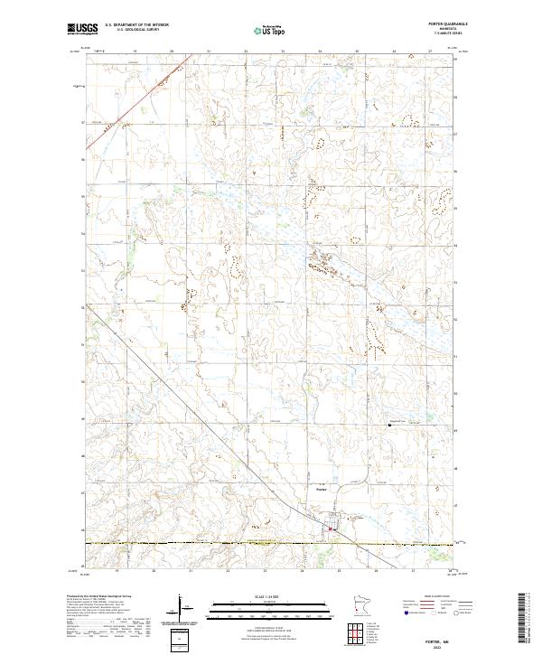
Porter serves as the primary hub of this agricultural prairie landscape, situated near the southern boundary where Yellow Medicine Co Lincoln Co meet. The town's grid is defined by streets like Lone Tree St and Chestnut St, sitting just north of the N Br Yellow Medicine River. This region is defined by its complex drainage network, where the Lac qui Parle River meanders through the northern sections while Canby Cr and Mud Cr cut through the western reaches.
Find a feature on this map
47 named features on this map. Tap any name to fly to it.
Don’t see what you’re looking for? This feature index may not catch every label — zoom into the map to look around manually.
Map Details
Date Portrayed2022
Date Published2022
PublisherU.S. Geological Survey
Map TypeTopographic
Scale1:24000
Physical Dimensions24 x 29 inches
Editions of this 2022 Porter Map
This is the sole edition of this map. No revisions or reprints were ever made.
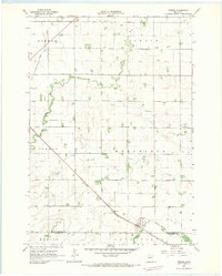
Historical Maps of Porter Through Time
Featured Locations
Source Details
SourceU.S. Geological Survey
CopyrightPublic Domain