Old Maps of Lincoln County, Minnesota
Explore 124 old maps of Lincoln County, spanning from 1953 to today. These high-resolution historic maps reveal how streets, neighborhoods, landmarks, and natural features evolved over time — perfect for genealogy, metal detecting, research, and local history exploration.
What you can do with these maps:
- See how Lincoln County changed over time: Compare historical maps to modern-day views to trace roads, homesites, rail lines & more.
- View detailed metadata: Each map includes creators, publishers, year, scale, and archive source.
- Overlay maps with satellite & LiDAR: Visualize the past alongside modern tools to explore terrain & human change.
- Trusted historical sources: Maps sourced from the USGS, Library of Congress, and other archives.
- Access maps your way: View online, download high-res files, or order prints for personal or research use.
Start exploring old maps of Lincoln County to uncover forgotten places, hidden landmarks, and the deep history beneath your feet.
Lincoln County, MN maps
(124)- 1953 Map of Watertown, 1968 Print
 1953 Watertown1968 Print · USGSEastern South Dakota and the Minnesota borderlands are captured here during the mid-twentieth century as the region's agricultural and rail-service centers thrived. Genealogists and local historians can trace family-named sites across the Coteau des Prairies and find landmarks in Watertown, De Smet, and Brookings.3 unique versions available
 - 1958 Map of Watertown
 1958 Watertown1958 Print · USGSThe eastern South Dakota prairie and the Minnesota borderlands are captured here in the late fifties, showcasing a landscape of terminal moraine lakes and burgeoning rail hubs. Genealogists and historians can trace the early paths of the Chicago and North Western railroad or locate family roots in Watertown, Clark, or the Sisseton Indian Reservation.2 unique versions available
 - 1963 Map of Dead Coon Lake, 1964 Print
 1963 Dead Coon Lake1964 Print · USGSThe town of Tyler and the surrounding Minnesota prairie are captured here in the early 1960s as a hub of rail and drainage. Trace family roots at St Dionysius Cem and Mission Cem, or follow the Chicago and North Western rail line through the marshy terrain of Dead Coon Lake.
 - 1963 Map of Gislason Lake, 1964 Print
 1963 Gislason Lake1964 Print · USGSThe rural borderlands of Lincoln and Lyon counties are captured here in the early sixties, showing a landscape of townships and prairie lakes. Genealogists can locate Zion Ch and trace family-named water bodies like Gislason Lake and Goose Lake.2 unique versions available
 - 1963 Map of Tyler, 1964 Print
 1963 Tyler1964 Print · USGSTyler and the surrounding prairie lakes are shown here in the early sixties, anchored by a vital rail corridor. Genealogists and local historians can trace the town's civic layout through the Danebod Cem, Fairground, and the Chicago and North Western line.
 - 1963 Map of Arco, 1964 Print
 1963 Arco1964 Print · USGSThe rail-and-prairie landscape of Lincoln County comes alive in this early 1960s survey of the Chicago and North Western corridor. Trace the development of Ivanhoe and Arco, and locate local landmarks like the Icelandic Ch and Lake Stay.
 - 1967 Map of Canby, 1968 Print
 1967 Canby1968 Print · USGSCanby and its surrounding prairie townships are captured here in the mid-sixties, showing a mature agricultural and rail landscape. Researchers can trace family history through numerous rural sites like St Pauls Cem, the settlement at Burr, and the Vocational Sch.
 - 1967 Map of Canby NW, 1968 Print
 1967 Canby NW1968 Print · USGSThe prairie borderlands of Minnesota and South Dakota come into focus in the mid-1960s, showing a landscape shaped by glacial lakes and conservation efforts. Researchers can locate the Fortier Cem, School No 111, and the waters of Lake Cochrane and Culver Lake.2 unique versions available
 - 1967 Map of Ruthton, 1968 Print
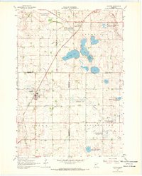 1967 Ruthton1968 Print · USGSThe rail-and-river landscape of the Minnesota prairie comes into focus in the mid-1960s, centered on the settlements of Ruthton and Florence. Researchers can trace old family burial sites at Opdal Cem and Peace Cem or follow the path of the Great Northern railroad.
 - 1967 Map of Ruthton NW, 1968 Print
 1967 Ruthton NW1968 Print · USGSThe Pipestone and Lincoln county borderlands appear here in the late sixties as a thriving agricultural grid. Genealogists and historians can trace the Great Northern rail line, local landmarks like the Townhall, and the headwaters of the Redwood River.2 unique versions available
 - 1967 Map of Porter, 1968 Print
 1967 Porter1968 Print · USGSWestern Minnesota prairie life is captured here in the late sixties, centered on the rail-side town of Porter. Genealogists and local historians can trace the paths of the Lac qui Parle River or locate family plots at Wergeland Cem.
 - 1967 Map of Porter SW, 1968 Print
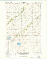 1967 Porter SW1968 Print · USGSLincoln County farmland and the winding Yellow Medicine River are captured here in the late sixties. Genealogists and local historians can trace the vicinity of St Johns Cantius Cem or the rail lines of the Chicago and North Western.
 - 1967 Map of St Leo, 1968 Print
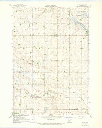 1967 St Leo1968 Print · USGSYellow Medicine County in the late sixties reveals a landscape of structured townships and managed wetlands. Genealogists and local historians can locate the St Leo Cem, trace the waters of Lanners Lake, and explore the bounds of Burton and Omro.
 - 1967 Map of Verdi, 1968 Print
 1967 Verdi1968 Print · USGSPipestone and Lincoln County farmland transitions from prairie to rail-side industry during the late sixties. Genealogists and local historians can trace the Chicago and North Western line through Verdi or locate the Altona State Wildlife Management Area.
 - 1967 Map of Lake Benton NW, 1968 Print
 1967 Lake Benton NW1968 Print · USGSThe prairie lake country of Lincoln County is documented here in the late sixties, just as modern conservation areas were becoming established. Researchers can locate family landmarks like Trulock Cem and New Grove Ch or trace the Chicago and North Western rail line.2 unique versions available
 - 1967 Map of Lake Benton, 1968 Print
 1967 Lake Benton1968 Print · USGSThe Lake Benton region in the late sixties reveals a landscape of lakeside development and rail-line commerce. Genealogists and researchers can locate Memorial Cemetery, the High Sch, and the winding tracks of the Chicago and North Western railroad.2 unique versions available
 - 1967 Map of Taunton, 1968 Print
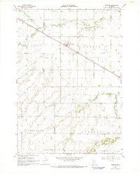 1967 Taunton1968 Print · USGSTaunton and the surrounding farm country on the Lincoln-Lyon county line are captured in the late sixties. Genealogists and local historians can locate rural landmarks such as Hemnes Ch and follow the Chicago and North Western rail line through Eidsvold.
 - 1967 Map of Canby SE, 1969 Print
 1967 Canby SE1969 Print · USGSLincoln County’s prairie landscape was a network of conservation lands and small rural communities during the late sixties. Researchers can trace the agricultural heart of the region through the Marble Ch, the Marble Sch, and the winding Yellow Medicine River.
 - 1967 Map of Lake Benton SW, 1969 Print
 1967 Lake Benton SW1969 Print · USGSThe Minnesota and South Dakota border comes into focus in the late sixties, capturing a quiet agricultural landscape of prairie townships. Genealogists and local historians can locate Stolz Cem, trace the path of Medary Creek, and find several mid-century Gravel Pits.
 - 1967 Map of Hendricks, 1969 Print
 1967 Hendricks1969 Print · USGSThe Minnesota-South Dakota borderlands come into focus in the late 1960s as a landscape of prairie lakes and pioneer congregations. Trace family roots at the Singsaas Ch Cem or Bohemian Cem, and follow the Chicago and North Western tracks into Hendricks.
 - 1967 Map of Lake Benton NE, 1969 Print
 1967 Lake Benton NE1969 Print · USGSLincoln County’s prairie landscape is captured here in the late sixties, showing the agricultural and conservation footprint around Ivanhoe. Local historians can trace early settlement through the West Elim Cem, the iron rails of the Chicago and North Western, and Shaokatan Lake.
 - 1967 Map of Elkton, 1978 Print
 1967 Elkton1978 Print · USGSElkton sits at a bustling prairie rail junction on the South Dakota and Minnesota border during the late sixties. Genealogists and local researchers can locate St Marys Cem, trace the C & N W line, or follow the winding course of Medary Creek.
 - 1985 Map of Brookings
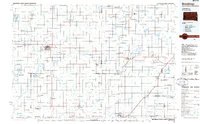 1985 Brookings1985 Print · USGSThe South Dakota and Minnesota borderlands in the mid-1980s are defined here by a network of prairie lakes and bustling rail corridors. Researchers can trace the path of the Chicago and North Western through Brookings or explore the numerous wetlands of Oakwood Lakes State Park.2 unique versions available
 - 1985 Map of Clear Lake
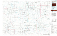 1985 Clear Lake1985 Print · USGSThe South Dakota and Minnesota borderlands are captured here in the mid-eighties as a landscape of prairie towns and wildlife refuges. Researchers can trace the legacy of regional transport through the Chicago and North Western tracks and the Old Railroad Grade.2 unique versions available
 - 2010 Map of Taunton, 2010 Print
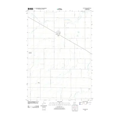 2010 Taunton2010 Print · USGSAgricultural life in Lyon County is captured here during the early 2000s, centered on the town of Taunton. Genealogists and local researchers can locate family sites like the Old Taunton Catholic Cemetery or trace the Yellow Medicine River through the prairie.
Showing maps 1-25 of 124
Top cities of Lincoln County
- Tyler historical maps
- Hendricks historical maps
- Lake Benton historical maps
- Ivanhoe historical maps
- Verdi historical maps
- Arco historical maps
Frequently asked questions
- What are the different types of historical maps available for Lincoln County?
- What is the oldest map of Lincoln County?
- Where can I purchase historical maps of Lincoln County for my home or office?
- Where can I download high-res historical maps of Lincoln County?
- Are there historical topographic maps available for Lincoln County?
- Is there historical aerial imagery available for Lincoln County?
- Where are historical maps of Lincoln County sourced from?