Loading...
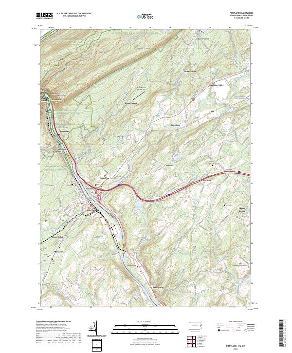
Loading map...2023 Map of Portland
USGS Topo · Published 2023About this map
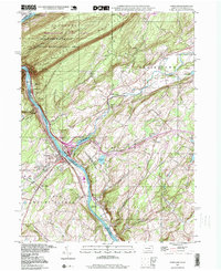
The Delaware River serves as the central artery and natural border for this region, winding through the gap and separating Portland and Columbia at the historic Dills Ferry crossing. This survey details the landscape at the meeting of Pennsylvania and New Jersey, dominated by the rise of Kittatinny Mtn and protected lands within the Delaware Water Gap National Recreation Area.
Find a feature on this map
170 named features on this map. Tap any name to fly to it.
Don’t see what you’re looking for? This feature index may not catch every label — zoom into the map to look around manually.
Map Details
Date Portrayed2023
Date Published2023
PublisherU.S. Geological Survey
Map TypeTopographic
Scale1:24000
Physical Dimensions24 x 29 inches
Editions of this 2023 Portland Map
This is the sole edition of this map. No revisions or reprints were ever made.
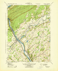
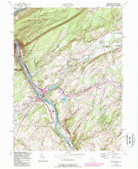
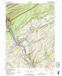
Historical Maps of Vail Through Time
5 maps found
Featured Locations
Source Details
SourceU.S. Geological Survey
CopyrightPublic Domain