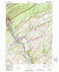
1955 Map of Portland
USGS Topo · Published 1984About this map
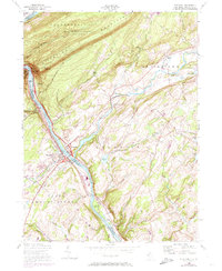
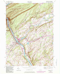
The Delaware River carves a dramatic passage through Kittatinny Mountain at The Gap, anchoring a landscape defined by sharp elevation changes and the historical movement of goods and people between Pennsylvania and New Jersey. On the Jersey side, the townships of Knowlton, Blairstown, and Pahaquarry are marked by early industrial and transportation nodes like the Hainesburg Sta and the Old Railroad Grade. Industrial activity is evident at the Powerplant and various Gravel Pits, contrasting with the recreational development of the Delaware Water Gap National Recreation Area and the high-elevation Sunfish Pond. Genealogists will find interest in several established burial grounds, including St Vincent Cem and Knowlton Frame Cem, while the Appalachian Trail traces the ridgeline near Mt Tammany, overlooking the twin riverside settlements of Portland and Columbia.
Find a feature on this map
62 named features on this map. Tap any name to fly to it.
Don’t see what you’re looking for? This feature index may not catch every label — zoom into the map to look around manually.
Map Details
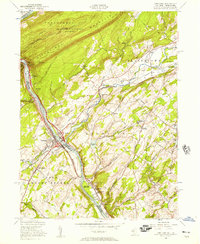
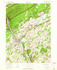
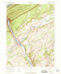
Editions of this 1955 Portland Map
6 editions found
Other maps of this area

1888 · Hackettstown
USGS Topo · 1:62,500

1891 · Wallpack
USGS Topo · 1:62,500

1891 · Delaware Water Gap
USGS Topo · 1:62,500

1893 · Delaware Water Gap
USGS Topo · 1:62,500

1893 · Wallpack
USGS Topo · 1:62,500

1894 · Hackettstown
USGS Topo · 1:62,500

1898 · Hackettstown
USGS Topo · 1:62,500

1900 · Raritan
USGS Topo · 1:125,000

1905 · Raritan
USGS Topo · 1:125,000

1905 · Hackettstown
USGS Topo · 1:62,500