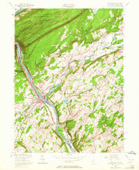
1955 Map of Portland
USGS Topo · Published 1964About this map
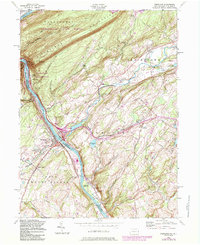
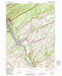
Kittatinny Mountain dominates the northwestern landscape of this mid-century survey, where the Delaware River cuts a dramatic passage through The Gap. This river valley serves as a critical transportation corridor, hosting the Delaware Lackawanna and Western RR alongside the riverbanks. The settlement patterns reflect the era's infrastructure, with Portland and Columbia connected across the water. Moving inland, the landscape is dotted with smaller communities and rural infrastructure like the Vail Sch and Hainesburg Sta, indicating the importance of rail access to the farming and residential areas of Knowlton and Blairstown townships.
Find a feature on this map
62 named features on this map. Tap any name to fly to it.
Don’t see what you’re looking for? This feature index may not catch every label — zoom into the map to look around manually.
Map Details
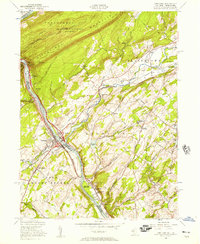
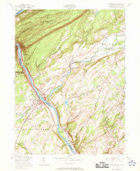
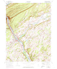
Editions of this 1955 Portland Map
6 editions found
Other maps of this area

1888 · Hackettstown
USGS Topo · 1:62,500

1891 · Wallpack
USGS Topo · 1:62,500

1891 · Delaware Water Gap
USGS Topo · 1:62,500

1893 · Delaware Water Gap
USGS Topo · 1:62,500

1893 · Wallpack
USGS Topo · 1:62,500

1894 · Hackettstown
USGS Topo · 1:62,500

1898 · Hackettstown
USGS Topo · 1:62,500

1900 · Raritan
USGS Topo · 1:125,000

1905 · Raritan
USGS Topo · 1:125,000

1905 · Hackettstown
USGS Topo · 1:62,500