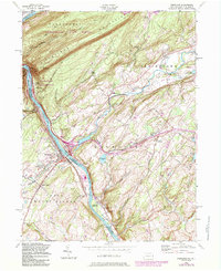
1955 Map of Portland
USGS Topo · Published 1984About this map
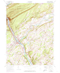
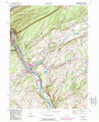
Kittatinny Mountain dominates the northern horizon of this landscape, where the Delaware River carves a dramatic passage between Pennsylvania and New Jersey. This mid-century update captures the region's complex infrastructure, from the heavy rail lines of Conrail following the riverbanks to the high-elevation path of the Appalachian Trail tracing the ridge. The settlement pattern is defined by river-crossing points like Portland and Columbia, while smaller hamlets like Vail and Polkville occupy the inland valleys. Industrial signatures including a Powerplant, Conveyors, and several Quarry sites sit alongside rural landmarks such as St James Ch and the Knowlton Frame Cem. The map documents the area during a period of transition, showing the intersection of long-standing agricultural communities and newer recreational developments like Camp Mohican and Lake Susquehanna.
Find a feature on this map
66 named features on this map. Tap any name to fly to it.
Don’t see what you’re looking for? This feature index may not catch every label — zoom into the map to look around manually.
Map Details
Editions of this 1955 Portland Map
6 editions found
Other maps of this area

1888 · Hackettstown
USGS Topo · 1:62,500

1891 · Wallpack
USGS Topo · 1:62,500

1891 · Delaware Water Gap
USGS Topo · 1:62,500

1893 · Delaware Water Gap
USGS Topo · 1:62,500

1893 · Wallpack
USGS Topo · 1:62,500

1894 · Hackettstown
USGS Topo · 1:62,500

1898 · Hackettstown
USGS Topo · 1:62,500

1900 · Raritan
USGS Topo · 1:125,000

1905 · Raritan
USGS Topo · 1:125,000

1905 · Hackettstown
USGS Topo · 1:62,500