Loading...
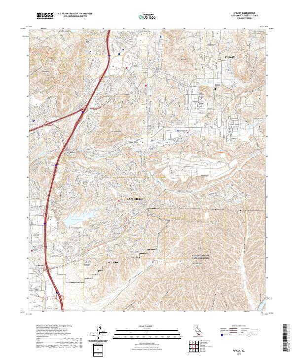
Loading map...1996 Map of Poway
USGS Topo · Published 2001About this map
Marine Corps Air Station Miramar and the sprawling residential developments of the late twentieth century define this landscape north of San Diego. The map captures a period of intense suburban transition, where neighborhoods like Scripps Ranch and various community parks have integrated with the area's complex topography. The canyon systems, including Sycamore Canyon and Carroll Canyon, remain prominent features alongside the engineered waters of Miramar Lake.
Find a feature on this map
53 named features on this map. Tap any name to fly to it.
Don’t see what you’re looking for? This feature index may not catch every label — zoom into the map to look around manually.
Map Details
Date Portrayed1996
Date Published2001
PublisherU.S. Geological Survey
Map TypeTopographic
Scale1:24000
Physical Dimensions22 x 26.8 inches
Editions of this 1996 Poway Map
This is the sole edition of this map. No revisions or reprints were ever made.
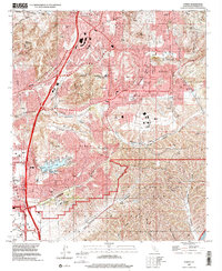
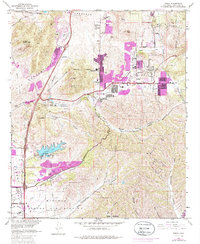
Historical Maps of San Diego Through Time
3 maps found
Featured Locations
Source Details
SourceU.S. Geological Survey
CopyrightPublic Domain