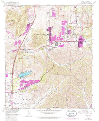
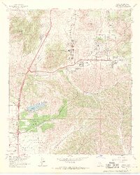
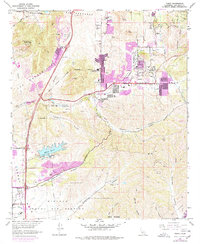
1967 Map of Poway
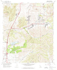
USGS Topo · Published 1986About this map
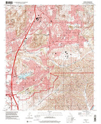
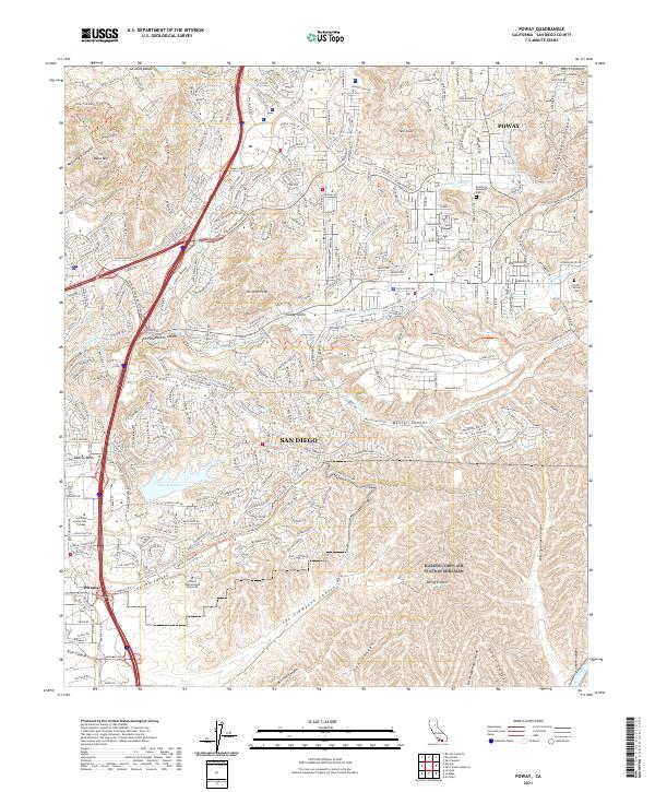
Miramar Naval Air Station anchors the southwestern portion of this San Diego County landscape, where the flat mesas of the military reservation meet the rising ridges of the Peninsular Ranges. The community of Poway is captured during a significant period of suburban expansion, with mid-century residential growth extending along Poway Road and Pomerado Road. This development is framed by a network of educational and civic institutions, including Poway High Sch and the Dearborn Memorial Park. The topography is defined by deep drainage systems like Los Peñasquitos Creek and Carroll Canyon, while Miramar Lake serves as a prominent water feature near the naval boundary. Further north, the terrain ascends toward Black Mountain and Twin Peaks, illustrating the transition from coastal plains to the inland foothills before widespread modern infill altered the natural canyons.
Find a feature on this map
42 named features on this map. Tap any name to fly to it.
Don’t see what you’re looking for? This feature index may not catch every label — zoom into the map to look around manually.
Map Details
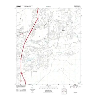
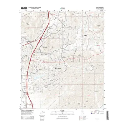
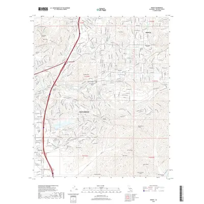
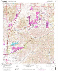
Editions of this 1967 Poway Map
5 editions found
Historical Maps of San Diego Through Time
6 maps found