
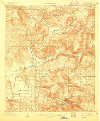
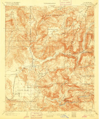
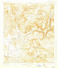
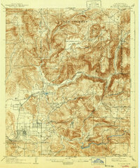
1903 Map of Elcajon
USGS Topo · Published 1903About this map
The San Diego Cuyamaca and Eastern Railroad terminates in this region at Foster, serving as a vital link for the scattered settlements of the late 19th-century San Diego interior. The landscape is defined by the engineering of the San Diego Flume, which winds across the hills above Elcajon Valley, utilizing significant infrastructure like the Lankershim Tunnel and Monte Tunnel to transport water through the arid terrain.
Find a feature on this map
54 named features on this map. Tap any name to fly to it.
Don’t see what you’re looking for? This feature index may not catch every label — zoom into the map to look around manually.
Map Details
Editions of this 1903 Elcajon Map
5 editions found
Other maps of this area

1893 · El Cajon
USGS Topo · 1:62,500

1893 · Escondido
USGS Topo · 1:62,500

1901 · Elcajon
USGS Topo · 1:62,500

1901 · Escondido
USGS Topo · 1:62,500

1901 · San Luis Rey
USGS Topo · 1:125,000

1903 · Cuyamaca
USGS Topo · 1:125,000

1903 · La Jolla
USGS Topo · 1:62,500

1903 · Ramona
USGS Topo · 1:125,000

1904 · San Diego
USGS Topo · 1:62,500

1904 · Southern California Sheet No. 2
USGS Topo · 1:250,000