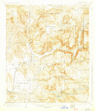
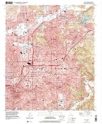
1903 Map of El Cajon
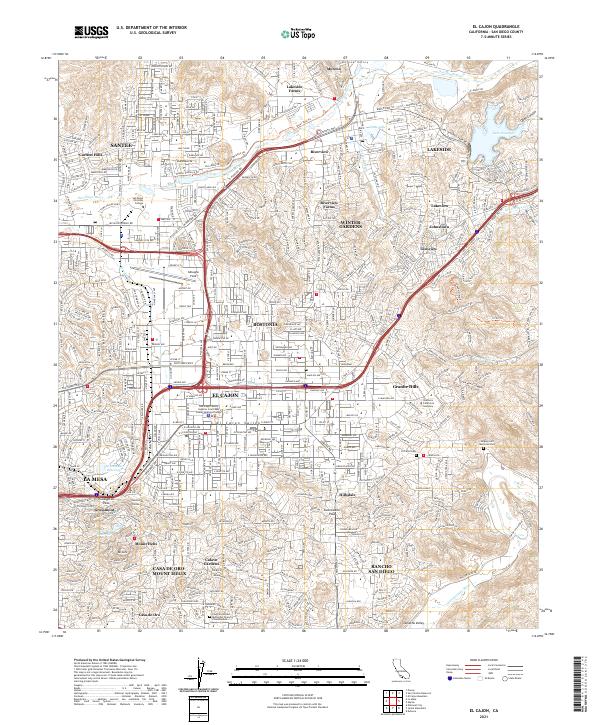
USGS Topo · Published 1930About this map
The San Diego Cuyamaca and Eastern Railroad terminates at Foster in this turn-of-the-century look at the San Diego backcountry. The landscape is defined by the critical water infrastructure of the era, most notably the San Diego Flume, which winds through the hills and passes through numerous subterranean structures such as the Lankesheim Tunnel and Los Coches Tunnel to bring water to the developing citrus groves and settlements of the El Cajon Valley.
Find a feature on this map
50 named features on this map. Tap any name to fly to it.
Don’t see what you’re looking for? This feature index may not catch every label — zoom into the map to look around manually.
Map Details
Editions of this 1903 El Cajon Map
5 editions found

Historical Maps of San Diego Through Time
12 maps found
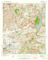
1903 El Cajon
San Diego County, CA
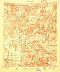
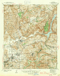
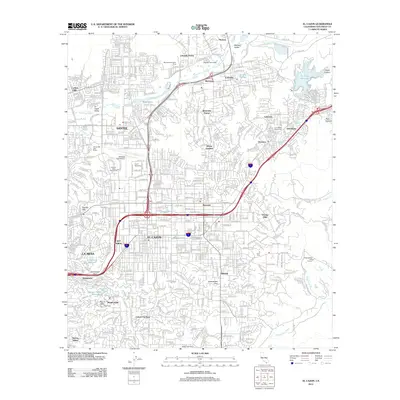
1939 El Cajon
San Diego County, CA

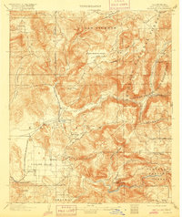
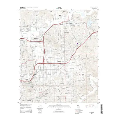
1942 El Cajon
San Diego County, CA
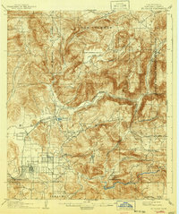
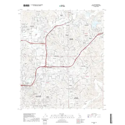
1947 El Cajon
San Diego County, CA
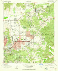
1955 El Cajon
San Diego County, CA
1967 El Cajon
San Diego County, CA

1979 El Cajon
San Diego County, CA
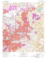
1996 El Cajon
San Diego County, CA
2012 El Cajon
San Diego County, CA
2015 El Cajon
San Diego County, CA
2018 El Cajon
San Diego County, CA
2021 El Cajon
San Diego County, CA