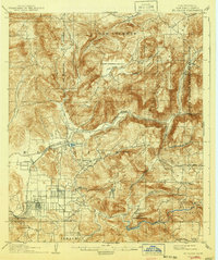
1903 Map of El Cajon
USGS Topo · Published 1941About this map
El Cajon Valley serves as a focal point for settlement and infrastructure at the start of the 20th century. The intricate engineering of the San Diego Flume winds through the hills, punctuated by several major works including the Lankersheim Tunnel and Cape Horn Tunnel. This hydraulic network parallels the San Diego River and reflects the era's significant investment in water transport for regional agricultural growth.
Find a feature on this map
49 named features on this map. Tap any name to fly to it.
Don’t see what you’re looking for? This feature index may not catch every label — zoom into the map to look around manually.
Map Details
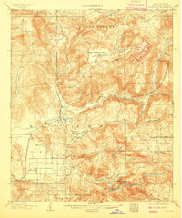
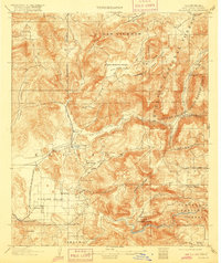
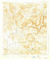
Editions of this 1903 El Cajon Map
5 editions found
Other maps of this area

1893 · El Cajon
USGS Topo · 1:62,500

1893 · Escondido
USGS Topo · 1:62,500

1901 · Elcajon
USGS Topo · 1:62,500

1901 · Escondido
USGS Topo · 1:62,500

1901 · San Luis Rey
USGS Topo · 1:125,000

1903 · Cuyamaca
USGS Topo · 1:125,000

1903 · La Jolla
USGS Topo · 1:62,500

1903 · Elcajon
USGS Topo · 1:62,500

1903 · Ramona
USGS Topo · 1:125,000

1904 · San Diego
USGS Topo · 1:62,500