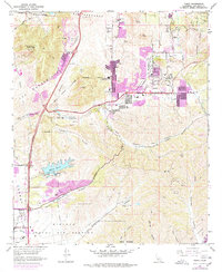
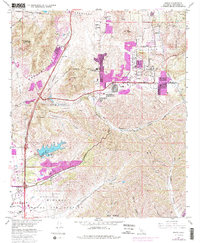
1967 Map of Poway
USGS Topo · Published 1978About this map
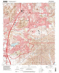
Poway and the surrounding canyons of inland San Diego County are captured here during a significant period of suburban expansion. The map reflects the early footprint of Scripps Ranch and the residential growth near Miramar Reservoir, which includes the infrastructure of a filtration plant and spillway. This 1967 survey, updated with purple photorevisions from 1975, highlights the evolving boundary between the rural past and the modern city, particularly where the San Bernardo (Snook) Grant meets the growing residential blocks. Educational and community institutions like Poway High Sch, Meadowbrook Intermediate Sch, and Dearborn Memorial Park serve as central landmarks for the developing community. To the south, the massive footprint of the Miramar Naval Air Station and the U S Naval Res occupy the rugged terrain of Carroll Canyon and San Clemente Canyon, illustrating the era's dominant military presence in the region.
Find a feature on this map
40 named features on this map. Tap any name to fly to it.
Don’t see what you’re looking for? This feature index may not catch every label — zoom into the map to look around manually.
Map Details
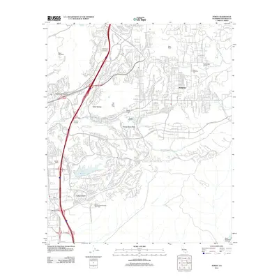
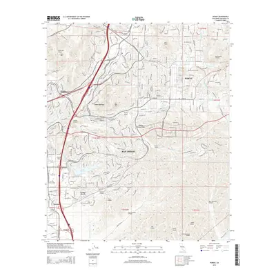
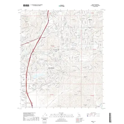
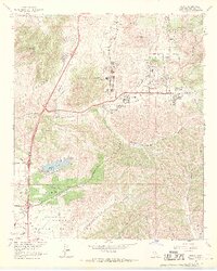
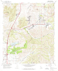
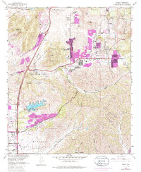
Editions of this 1967 Poway Map
5 editions found
Historical Maps of San Diego Through Time
6 maps found