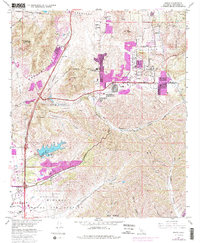
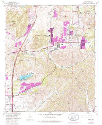
1967 Map of Poway
USGS Topo · Published 1986About this map
Poway serves as the focal point of this 1967 survey, capturing a Southern California landscape undergoing rapid post-war suburban transformation. While the traditional rural core is evidenced by landmarks like Dearborn Memorial Park and various local schools such as Pomerado Sch and Valley Sch, purple-tinted revisions from 1975 highlight the burgeoning residential expansion encroaching on the canyon-cut terrain. The map provides a look at the intersection of civilian life and major military installations, with the Miramar Naval Air Station and the U S Naval Res occupying significant acreage in the southern reaches. Steep topographical relief is defined by Black Mountain and Twin Peaks, which overlook a network of seasonal drainages including Los Penasquitos Creek and Beeler Creek. The transition from open ranch land, like the Rancho Los Penasquitos Golf Course, to structured neighborhoods along Pomerado Road illustrates the era's significant shift in land use.
Find a feature on this map
43 named features on this map. Tap any name to fly to it.
Don’t see what you’re looking for? This feature index may not catch every label — zoom into the map to look around manually.
Map Details
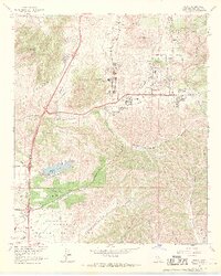
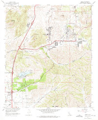
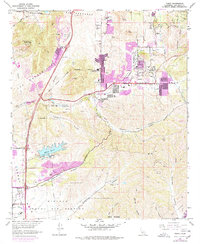
Editions of this 1967 Poway Map
5 editions found
Other maps of this area

1893 · El Cajon
USGS Topo · 1:62,500

1893 · Escondido
USGS Topo · 1:62,500

1901 · Elcajon
USGS Topo · 1:62,500

1901 · Escondido
USGS Topo · 1:62,500

1901 · San Luis Rey
USGS Topo · 1:125,000

1903 · Cuyamaca
USGS Topo · 1:125,000

1903 · La Jolla
USGS Topo · 1:62,500

1903 · Elcajon
USGS Topo · 1:62,500

1903 · Ramona
USGS Topo · 1:125,000

1904 · Southern California Sheet No. 2
USGS Topo · 1:250,000