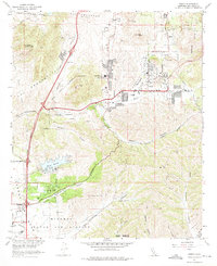
1967 Map of Poway
USGS Topo · Published 1975About this map
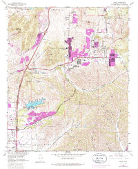
Poway sits at the center of this 1960s landscape, positioned as a growing hub defined by its network of schools and water infrastructure. The community is anchored by Poway High Sch and Midland Sch, while the southern reaches are dominated by the Miramar Naval Air Station and the US Naval Res. The presence of the Filtration Plant and Sewage Disposal facilities near Miramar Reservoir illustrates the engineering required to support the mid-century expansion into these coastal hills. To the west, the Rancho Los Penasquitos Golf Course and the heights of Black Mountain offer a counterpoint to the suburban density. A complex system of drainages including Beeler Canyon, Sycamore Canyon, and Los Peñasquitos Creek carve through the terrain, dictating the placement of major thoroughfares like Poway Road and Pomerado Road.
Find a feature on this map
38 named features on this map. Tap any name to fly to it.
Don’t see what you’re looking for? This feature index may not catch every label — zoom into the map to look around manually.
Map Details
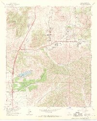
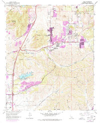
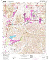
Editions of this 1967 Poway Map
5 editions found
Other maps of this area

1893 · El Cajon
USGS Topo · 1:62,500

1893 · Escondido
USGS Topo · 1:62,500

1901 · Elcajon
USGS Topo · 1:62,500

1901 · Escondido
USGS Topo · 1:62,500

1901 · San Luis Rey
USGS Topo · 1:125,000

1903 · Cuyamaca
USGS Topo · 1:125,000

1903 · La Jolla
USGS Topo · 1:62,500

1903 · Elcajon
USGS Topo · 1:62,500

1903 · Ramona
USGS Topo · 1:125,000

1904 · Southern California Sheet No. 2
USGS Topo · 1:250,000