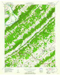
1952 Map of Powell
USGS Topo · Published 1961About this map
The Clinch River winds through a landscape defined by parallel ridges and fertile valleys along the border of Anderson and Knox counties in the early 1950s. The terrain is structured by prominent geological features such as Chestnut Ridge, Copper Ridge, and Beaver Ridge, which channel the development of local road networks and small communities. Central to this area is the settlement of Powell, where an Airfield and Powell Church serve as local landmarks. To the northwest, the town of Clinton sits near the river, while the TVA Forest Nursery occupies the Eagle Bend area, reflecting the regional influence of the Tennessee Valley Authority.
Find a feature on this map
75 named features on this map. Tap any name to fly to it.
Don’t see what you’re looking for? This feature index may not catch every label — zoom into the map to look around manually.
Map Details
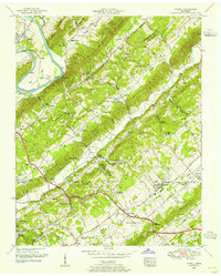
Editions of this 1952 Powell Map
2 editions found
Other maps of this area

1886 · Knoxville
USGS Topo · 1:125,000

1892 · Knoxville
USGS Topo · 1:125,000

1893 · Briceville
USGS Topo · 1:125,000

1894 · Knoxville
USGS Topo · 1:125,000

1895 · Loudon
USGS Topo · 1:125,000

1895 · Briceville
USGS Topo · 1:125,000

1895 · Knoxville
USGS Topo · 1:125,000

1896 · Briceville
USGS Topo · 1:125,000

1897 · Maynardville
USGS Topo · 1:125,000

1900 · Maynardville
USGS Topo · 1:125,000