2021 Map of Prairie City
USGS Topo · Published 2021About this map
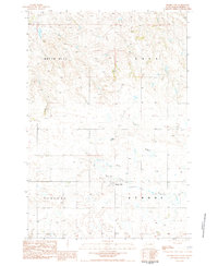
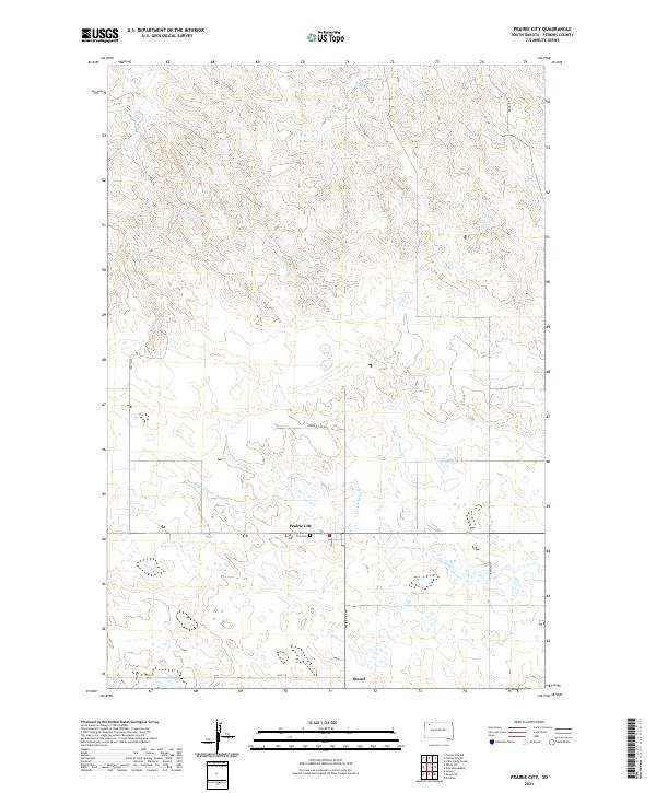
Prairie City and the nearby settlement of Strool anchor this portion of Perkins County, South Dakota, situated along the drainage of S Br Thunder Butte Cr. The landscape is defined by the grid of the Public Land Survey System, with township boundaries like t19n r10e and t18n r11e carving the high plains into distinct sections. For genealogists and local historians, the presence of the Prairie City Cem just south of the main settlement offers a specific point of interest for family research. Transportation in this corner of the state is facilitated by a network of local roads including Divide Rd and Prairie City Rd, which follow the natural contours and section lines of the territory. The map illustrates a contemporary view of this rural agricultural region, preserving the locations of small community centers that have long served the surrounding ranching and farming operations.
Find a feature on this map
13 named features on this map. Tap any name to fly to it.
Don’t see what you’re looking for? This feature index may not catch every label — zoom into the map to look around manually.
Map Details
Editions of this 2021 Prairie City Map
This is the sole edition of this map. No revisions or reprints were ever made.