Loading...
Loading map...2022 Map of Prairieburg
USGS Topo · Published 2022About this map
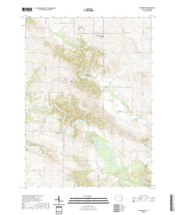
Waubeek and Prairieburg anchor this rural Linn County landscape, where the meandering Wapsipinicon River and Buffalo Creek define the local topography. This 2022 survey reveals a high density of rural burial sites, including the Prairieburg - Boulder Cem, Saint Josephs Cem, and Hazel Knoll Cem, which offer significant value for genealogists tracing local families like the Harts or Jordans.
Find a feature on this map
66 named features on this map. Tap any name to fly to it.
Don’t see what you’re looking for? This feature index may not catch every label — zoom into the map to look around manually.
Map Details
Date Portrayed2022
Date Published2022
PublisherU.S. Geological Survey
Map TypeTopographic
Scale1:24000
Physical Dimensions24 x 29 inches
Editions of this 2022 Prairieburg Map
This is the sole edition of this map. No revisions or reprints were ever made.
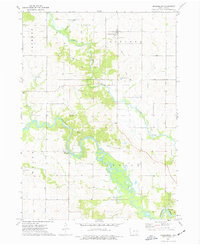
Historical Maps of Waubeek Through Time
Featured Locations
Source Details
SourceU.S. Geological Survey
CopyrightPublic Domain