
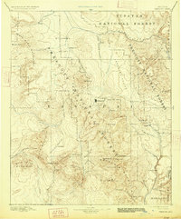
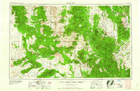
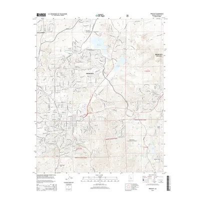
1887 Map of Prescott
USGS Topo · Published 1887About this map
Prescott serves as the focal point of this territorial-era survey, positioned as a vital hub surrounded by the mountainous mining districts of the Bradshaw Mountains and the Black Hills. This 1880s landscape reveals the early military and civilian footprint of the Arizona Territory, anchored by Fort Whipple and the bustling settlement at Jerome. The map captures a transition from purely defensive outposts to established mining and ranching communities, with wagon roads likely connecting dispersed sites like Big Bug, Stanton, and Bumble-bee. Topographical features such as the Sierra Prieta and the deep drainage of the Verde River dictated the movement of settlers and prospectors through the central Arizona highlands. High-altitude peaks like Granite Peak and Mt Tritle overlook a network of valley settlements including Skull Valley and Peeples Valley, providing a detailed spatial record of Yavapai County before the turn of the century.
Find a feature on this map
66 named features on this map. Tap any name to fly to it.
Don’t see what you’re looking for? This feature index may not catch every label — zoom into the map to look around manually.
Map Details
Editions of this 1887 Prescott Map
This is the sole edition of this map. No revisions or reprints were ever made.
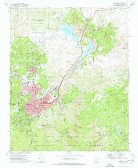
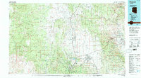
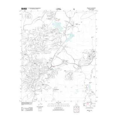
Historical Maps of Prescott Through Time
16 maps found
1887 Prescott
Yavapai County, AZ
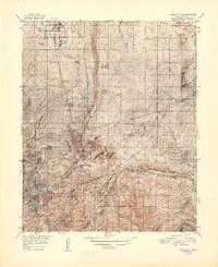
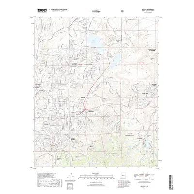
1892 Prescott
Yavapai County, AZ
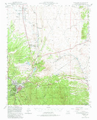
1947 Prescott
Yavapai County, AZ
1948 Prescott
Yavapai County, AZ

1950 Prescott
Yavapai County, AZ
1954 Prescott
Yavapai County, AZ

1958 Prescott
Yavapai County, AZ

1959 Prescott
Yavapai County, AZ
1960 Prescott
Yavapai County, AZ

1965 Prescott
Yavapai County, AZ
1973 Prescott
Yavapai County, AZ
1981 Prescott
Yavapai County, AZ
2012 Prescott
Yavapai County, AZ
2014 Prescott
Yavapai County, AZ
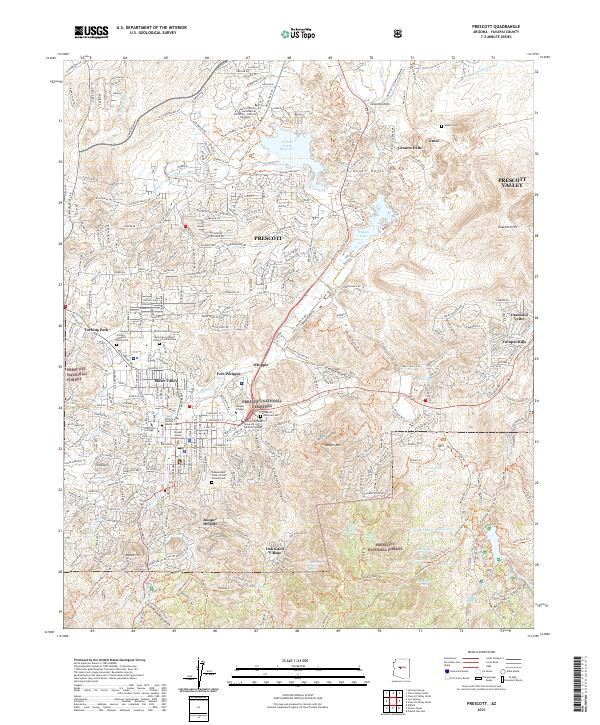
2018 Prescott
Yavapai County, AZ
2021 Prescott
Yavapai County, AZ