Old Maps of Prescott, Arizona
Explore 30 old maps of Prescott, spanning from 1887 to today. These high-resolution historic maps reveal how streets, neighborhoods, landmarks, and natural features evolved over time — perfect for genealogy, metal detecting, research, and local history exploration.
What you can do with these maps:
- See how Prescott changed over time: Compare historical maps to modern-day views to trace roads, homesites, rail lines & more.
- View detailed metadata: Each map includes creators, publishers, year, scale, and archive source.
- Overlay maps with satellite & LiDAR: Visualize the past alongside modern tools to explore terrain & human change.
- Trusted historical sources: Maps sourced from the USGS, Library of Congress, and other archives.
- Access maps your way: View online, download high-res files, or order prints for personal or research use.
Start exploring old maps of Prescott to uncover forgotten places, hidden landmarks, and the deep history beneath your feet.
Prescott, AZ maps
(30)- 1887 Map of Prescott
 1887 Prescott1887 Print · USGSThe central Arizona highlands appear in the territorial era, showing the early development of mining and military outposts. Genealogists can trace family-named sites and vanished camps like Big Bug, Stanton, and the original site of Walnut Grove.
 - 1892 Map of Prescott, 1898 Print
 1892 Prescott1898 Print · USGSCentral Arizona in the late nineteenth century was a territory defined by remote mining camps and military outposts. Genealogists and historians can trace early routes between Prescott and Jerome, locating vanished names like Meersville and Bumble-bee.5 unique versions available
 - 1905 Map of Jerome
 1905 Jerome1905 Print · USGSArizona's copper mining and ranching frontiers come to life in this early century survey of the Verde Valley. Trace the narrow-gauge United Verde and Pacific RR as it climbs toward Jerome, or locate family-named sites like Carter's Ranch and Perkins Ranch.2 unique versions available
 - 1947 Map of Iron Springs, 1958 Print
 1947 Iron Springs1958 Print · USGSYavapai County's high forest and ranching country are frozen in time just after the war, showing the deep connection between the railroad and local industry. Genealogists can trace family holdings like the Bar U Bar Ranch and Lord Stringfield Ranch, or locate sites such as the Arizona Mine and Iron Springs.2 unique versions available
 - 1947 Map of Prescott, 1959 Print
 1947 Prescott1959 Print · USGSArizona's territorial capital region is captured here in the late 1940s as the town expands toward the high desert. Genealogists and researchers can trace the limits of the Whipple Military Reservation, locate the Cem in Miller Valley, and follow the Atchison Topeka and Santa Fe rail line.3 unique versions available
 - 1948 Map of Iron Springs
 1948 Iron Springs1948 Print · USGSIn the high country of Yavapai County in the late 1940s, ranching and the railroad shaped life from the peaks to the valleys. Genealogists and researchers can trace family landmarks like Rancho Moana, identify the remote Boston Arizona Mine, and locate the Tonto Springs Ranger Sta.
 - 1948 Map of Prescott
 1948 Prescott1948 Print · USGSPrescott and the surrounding Yavapai County highlands are shown here in the late 1940s as a bustling hub of mining, military presence, and rail transport. Researchers can trace historic landmarks like the Whipple Military Reservation, the Iron King Mine, and the Fain Ranch.4 unique versions available
 - 1949 Map of Iron Springs
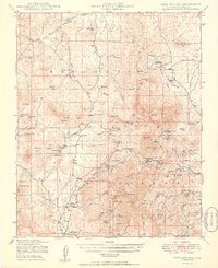 1949 Iron Springs1949 Print · USGSYavapai County's high-country ranches and mines are meticulously mapped here in the late 1940s, just after the war. Local historians can trace old homesteads like American Ranch and Poley Ranch, or locate workings at the Gold Star Mine.2 unique versions available
 - 1950 Map of Prescott, 1951 Print
 1950 Prescott1951 Print · USGSArizona's mining and ranching frontiers were in full operation during the early fifties, from the vertical streets of Jerome to the remote western desert. Genealogists and researchers can trace rural life via the Bland School, the United Verde Mine, and stops along the Atchison Topeka and Santa Fe Railway.
 - 1954 Map of Prescott, 1963 Print
 1954 Prescott1963 Print · USGSYavapai County mining and ranching districts are shown in high detail during the mid-twentieth century. Researchers can trace the legacy of remote camps and transport hubs like Swansea, Octave, and the Bagdad Mine along the desert rail lines.4 unique versions available
 - 1958 Map of Prescott
 1958 Prescott1958 Print · USGSCentral Arizona's rugged mining and ranching corridors come alive in the late fifties. Genealogists and historians can trace the remote Trout Creek School, the mining operations at Jerome, and the rail stops at Skull Valley and Kirkland.
 - 1959 Map of Prescott
 1959 Prescott1959 Print · USGSYavapai County and the central Arizona highlands come alive in the late fifties, showcasing a landscape of mountain mining towns and forest outposts. Researchers can trace the industrial footprints of the United Verde Mine, follow the Atchison Topeka and Santa Fe rails, and locate remote settlements like Swansea or Skull Valley.2 unique versions available
 - 1960 Map of Prescott
 1960 Prescott1960 Print · USGSYavapai County and the surrounding high-desert mining districts are captured here during a period of steady industrial and rail activity. Researchers can trace the routes of the Atchison Topeka and Santa Fe Railway and locate historic sites like the United Verde Mine and Bland School.2 unique versions available
 - 1965 Map of Prescott
 1965 Prescott1965 Print · USGSArizona's mining heartland is captured during the mid-sixties, from the copper mines of Jerome to the cattle country of Williamson Valley Wash. Genealogists and historians can trace old mining camps at Octave and Stanton or the historic Whipple Military Reservation.
 - 1973 Map of Chino Valley South, 1977 Print
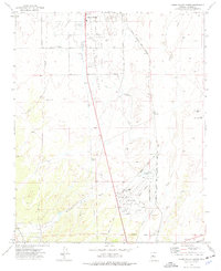 1973 Chino Valley South1977 Print · USGSYavapai County during the early 1970s shows a landscape of aviation and irrigation development south of the town center. Local researchers can trace the Atchison Topeka and Santa Fe rail line, Rolling Hills Cem, and private airstrips like Robin Landing Field.2 unique versions available
 - 1973 Map of Prescott, 1977 Print
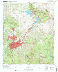 1973 Prescott1977 Print · USGSPrescott at the start of the seventies shows a growing mountain city balanced against its storied military and institutional history. Researchers can trace the layout of the Whipple Barracks Military Reservation, the Yavapai Indian Reservation, and local sites like the Odd Fellows Cemetery.2 unique versions available
 - 1979 Map of Iron Springs, 1980 Print
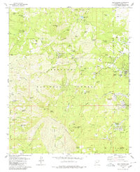 1979 Iron Springs1980 Print · USGSThe high country west of Prescott is captured here in the late seventies, showing a rugged landscape of mining and recreation. Genealogists and historians can trace the Old RR Grade and locate historic sites like the Boston Arizona Mine and Iron Springs.3 unique versions available
 - 1981 Map of Prescott, 1996 Print
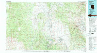 1981 Prescott1996 Print · USGSYavapai County experienced a period of transition in the early eighties as mining heritage and modern growth converged. Genealogists and historians can trace the industrial footprints of the United Verde Mine and the rail route of the Atchison Topeka and Santa Fe.2 unique versions available
 - 2011 Map of Chino Valley South, 2011 Print
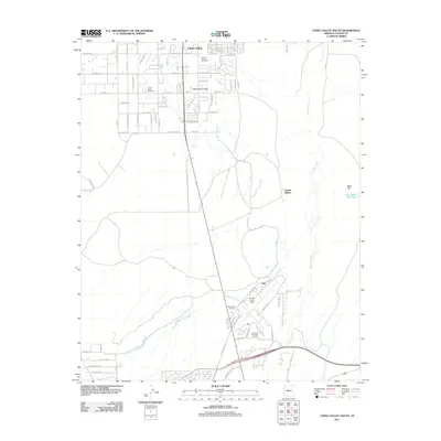 2011 Chino Valley South2011 Print · USGSThe Chino Valley corridor north of Prescott is captured here in the early 2000s as residential grids expanded near historic rail lines. Genealogists and local historians can trace family sites near Chino Valley Cemetery or explore the aviation footprints of Ernest A Love Field and Tutt.
 - 2012 Map of Prescott, 2012 Print
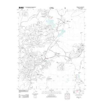 2012 Prescott2012 Print · USGSPrescott at the start of the 2010s shows a sophisticated mix of military history, academic growth, and high-desert terrain. Researchers can trace the layout of Fort Whipple, find the Boblett Cem, or locate the historic rail connection at Entro.
 - 2012 Map of Iron Springs, 2012 Print
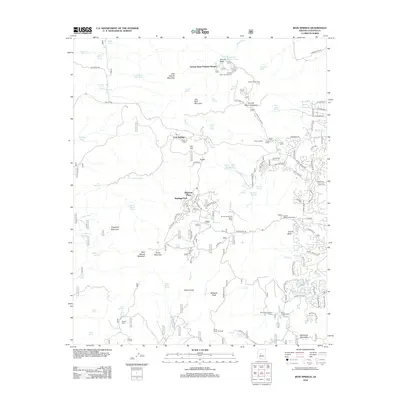 2012 Iron Springs2012 Print · USGSThe high country near Prescott is shown here during a period of significant recreational growth and residential expansion. Researchers can find historical enclaves like Granite Basin Summer Homes, the community at Iron Springs, and youth retreats such as Saint James Camp.
 - 2014 Map of Prescott, 2014 Print
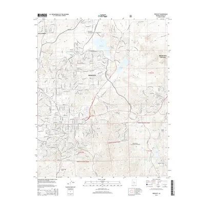 2014 Prescott2014 Print · USGSPrescott’s modern expansion and academic centers are captured in this recent survey of Yavapai County. Researchers can trace the development of Prescott near Thumb Butte and the major campuses of Yavapai Coll and Prescott Coll.
 - 2014 Map of Chino Valley South, 2014 Print
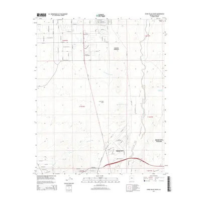 2014 Chino Valley South2014 Print · USGSArizona's high desert reveals its modern settlement patterns in the years before the recent population surges. Trace the development of Chino Valley and the infrastructure surrounding Ernest A Love Field and the Chino Valley Irrigation Ditch.
 - 2014 Map of Iron Springs, 2014 Print
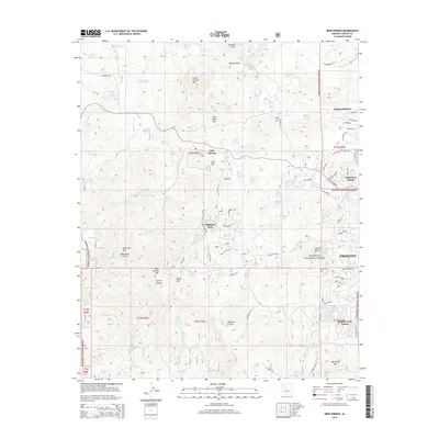 2014 Iron Springs2014 Print · USGSThe high mountain terrain west of Prescott is captured here during a period of modern residential expansion into the national forest. Researchers can trace the development of Iron Springs and Highland Park or locate landmarks like Granite Basin Lake and Thumb Butte.
 - 2018 Map of Iron Springs, 2018 Print
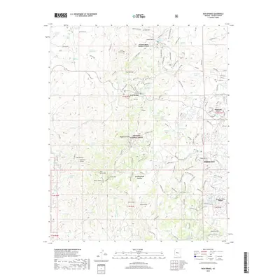 2018 Iron Springs2018 Print · USGSThe western edges of Yavapai County come to life in this 2010s survey, showing where the city of Prescott meets the high ridges of the national forest. Researchers can trace modern residential growth in Deering Park Estates and Wildwood Estates alongside landmarks like Thumb Butte.
Showing maps 1-25 of 30
Top cities near Prescott
- Prescott Valley historical maps
- Williamson historical maps
- Dewey-Humboldt historical maps
- Wilhoit historical maps
- Chino Valley historical maps
Top neighborhoods of Prescott
Frequently asked questions
- What are the different types of historical maps available for Prescott?
- What is the oldest map of Prescott?
- Where can I purchase historical maps of Prescott for my home or office?
- Where can I download high-res historical maps of Prescott?
- Are there historical topographic maps available for Prescott?
- Is there historical aerial imagery available for Prescott?
- Where are historical maps of Prescott sourced from?