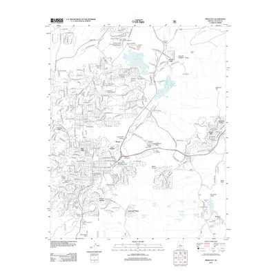
2012 Map of Prescott
USGS Topo · Published 2012About this map
Fort Whipple and the Prescott National Cem serve as historical anchors for this central Arizona community, which by the early 21st century had evolved into a significant educational and residential hub. The map shows the established neighborhoods of Miller Valley and Juniper Heights, alongside the sprawling campuses of Prescott College, Yavapai College, and Embry-Riddle Aeronautical University. These institutions are integrated into a landscape defined by the distinctive granite formations of the Granite Dells and the waters of Watson Lake and Willow Creek Reservoir.
Find a feature on this map
70 named features on this map. Tap any name to fly to it.
Don’t see what you’re looking for? This feature index may not catch every label — zoom into the map to look around manually.
Map Details
Editions of this 2012 Prescott Map
This is the sole edition of this map. No revisions or reprints were ever made.
Other maps of this area

1887 · Prescott
USGS Topo · 1:250,000

1892 · Prescott
USGS Topo · 1:250,000

1903 · Bradshaw Mountains
USGS Topo · 1:125,000

1903 · Congress
USGS Topo · 1:125,000

1904 · Congress
USGS Topo · 1:125,000

1905 · Jerome
USGS Topo · 1:125,000

1947 · Iron Springs
USGS Topo · 1:62,500

1947 · Mt. Union
USGS Topo · 1:62,500

1947 · Kirkland
USGS Topo · 1:62,500

1947 · Prescott
USGS Topo · 1:62,500