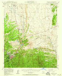
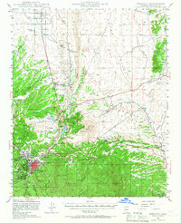
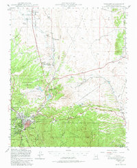
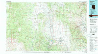
1947 Map of Prescott
USGS Topo · Published 1959About this map
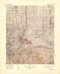
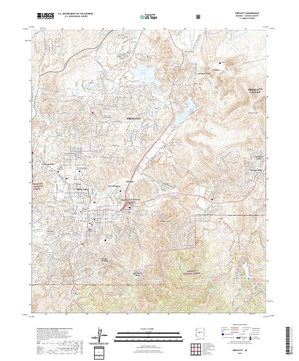
Prescott serves as the focal point of this postwar landscape, where the urban grid meets the sprawling boundaries of the Prescott National Forest. The geography is defined by a mix of military, industrial, and agricultural interests, notably the Whipple Military Reservation and the adjacent Yavapai Ind Res. Infrastructure for the growing territory is evident in the Atchison Topeka and Santa Fe railroad alignment, which passes through Granite Siding and Entro. Water management is central to the area's utility, shown by the Chino Valley Irrigation Ditch and reservoirs like Willow Cr Reservoir. High ground such as Glassford Hill overlooks a network of gulches and washes, including Chaparral Gulch and Coyote Wash, while the Old Hopkins Mine to the northeast points to the region's mineral history.
Find a feature on this map
62 named features on this map. Tap any name to fly to it.
Don’t see what you’re looking for? This feature index may not catch every label — zoom into the map to look around manually.
Map Details
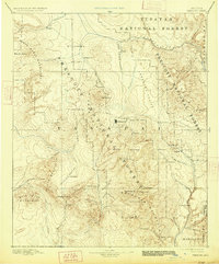
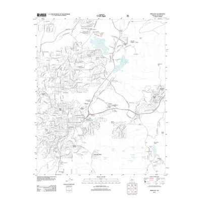
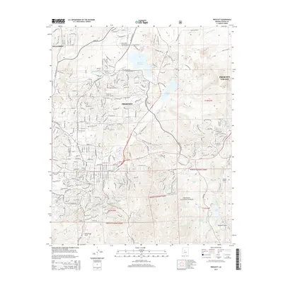
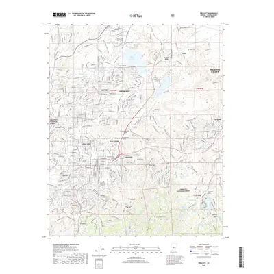
Editions of this 1947 Prescott Map
3 editions found
Historical Maps of Prescott Through Time
16 maps found

1887 Prescott
Yavapai County, AZ
1892 Prescott
Yavapai County, AZ
1947 Prescott
Yavapai County, AZ
1948 Prescott
Yavapai County, AZ

1950 Prescott
Yavapai County, AZ
1954 Prescott
Yavapai County, AZ

1958 Prescott
Yavapai County, AZ

1959 Prescott
Yavapai County, AZ
1960 Prescott
Yavapai County, AZ

1965 Prescott
Yavapai County, AZ
1973 Prescott
Yavapai County, AZ
1981 Prescott
Yavapai County, AZ
2012 Prescott
Yavapai County, AZ
2014 Prescott
Yavapai County, AZ
2018 Prescott
Yavapai County, AZ
2021 Prescott
Yavapai County, AZ