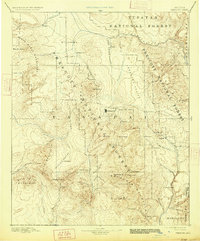
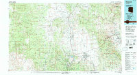
1947 Map of Prescott
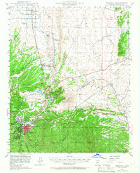
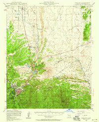
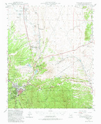
USGS Topo · Published 1966About this map
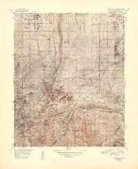
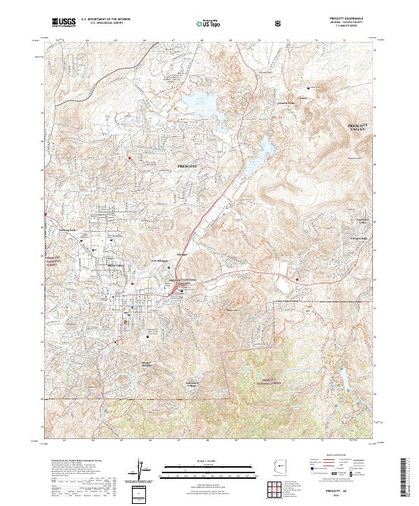
Prescott serves as the focal point of this postwar study, revealing a settlement pattern deeply influenced by the Atchison Topeka and Santa Fe railroad and the surrounding Prescott National Forest. The map documents a diverse mix of land uses, from the Whipple Military Reservation and the Yavapai Ind Res to the early development of Chino Valley and Miller Valley. Water management is prominent through features like the Chino Valley Irrigation Ditch and reservoirs such as Watson L and Willow Cr Reservoir. Industrial and navigational landmarks, including the Old Hopkins Mine and the Airway Beacon near Prescott Municipal Airport, highlight the region's mid-century economic activities. The transition from the high-desert plains of the Gila and Salt River Meridian to the volcanic prominence of Glassford Hill is clearly delineated.
Find a feature on this map
51 named features on this map. Tap any name to fly to it.
Don’t see what you’re looking for? This feature index may not catch every label — zoom into the map to look around manually.
Map Details
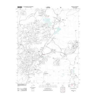
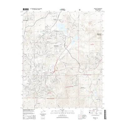
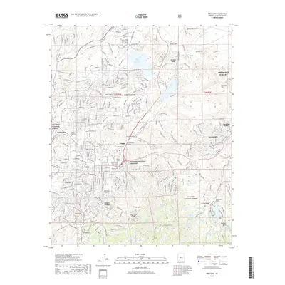
Editions of this 1947 Prescott Map
3 editions found
Historical Maps of Prescott Through Time
16 maps found

1887 Prescott
Yavapai County, AZ
1892 Prescott
Yavapai County, AZ
1947 Prescott
Yavapai County, AZ
1948 Prescott
Yavapai County, AZ

1950 Prescott
Yavapai County, AZ
1954 Prescott
Yavapai County, AZ

1958 Prescott
Yavapai County, AZ

1959 Prescott
Yavapai County, AZ
1960 Prescott
Yavapai County, AZ

1965 Prescott
Yavapai County, AZ
1973 Prescott
Yavapai County, AZ
1981 Prescott
Yavapai County, AZ
2012 Prescott
Yavapai County, AZ
2014 Prescott
Yavapai County, AZ
2018 Prescott
Yavapai County, AZ
2021 Prescott
Yavapai County, AZ