Loading...
Loading map...2023 Map of Prince
USGS Topo · Published 2023About this map
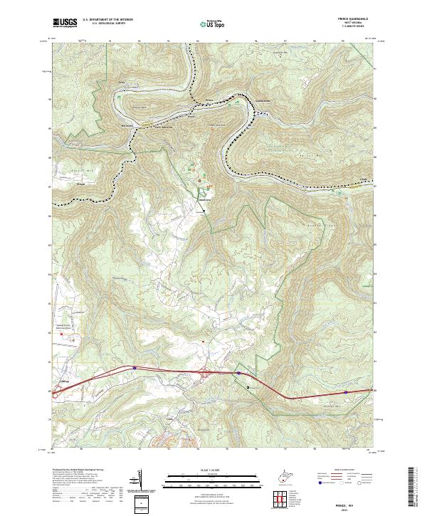
The New River Gorge National River creates a dramatic winding corridor through this section of the Fayette and Raleigh county border. The New River carves deeply around Stretcher Neck, passing historical industrial sites like Prince and Quinnimont. This corridor was once a vital artery for coal transport, and the CSX Transportation line continues to follow the river’s path, navigating the Quinnimont Rapids and Grassy Shoals Rapids.
Find a feature on this map
99 named features on this map. Tap any name to fly to it.
Don’t see what you’re looking for? This feature index may not catch every label — zoom into the map to look around manually.
Map Details
Date Portrayed2023
Date Published2023
PublisherU.S. Geological Survey
Map TypeTopographic
Scale1:24000
Physical Dimensions24 x 29 inches
Editions of this 2023 Prince Map
This is the sole edition of this map. No revisions or reprints were ever made.
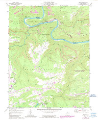
Historical Maps of McCreery Through Time
Featured Locations
Source Details
SourceU.S. Geological Survey
CopyrightPublic Domain