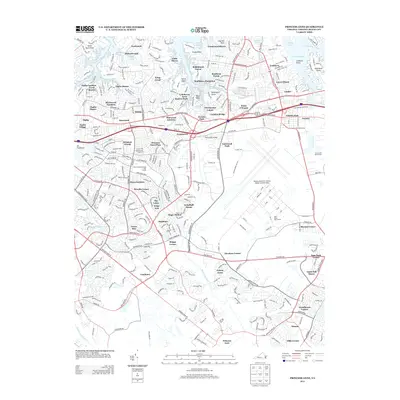
2013 Map of Princess Anne
USGS Topo · Published 2013About this map
Oceana Naval Air Station (Apollo Soucek Field) occupies a central position on this coastal Virginia landscape, surrounded by an intricate network of residential subdivisions and historical crossroads. The map illustrates the suburban evolution of Virginia Beach, where established communities like London Bridge and Princess Anne are interwoven with modern landmarks such as Mt Trashmore. The geography is defined by the branching waterways of the Western Branch and Eastern Branch Lynnhaven River, creating numerous necks and points including Witch Duck Point and Trants Point.
Find a feature on this map
331 named features on this map. Tap any name to fly to it.
Don’t see what you’re looking for? This feature index may not catch every label — zoom into the map to look around manually.
Map Details
Editions of this 2013 Princess Anne Map
This is the sole edition of this map. No revisions or reprints were ever made.
Other maps of this area

1893 · Virginia Beach
USGS Topo · 1:125,000

1907 · Norfolk
USGS Topo · 1:125,000

1916 · Back Bay
USGS Topo · 1:62,500

1918 · Cape Henry
USGS Topo · 1:62,500

1919 · Cape Henry
USGS Topo · 1:62,500

1939 · Moyock
USGS Topo · 1:62,500

1943 · Back Bay
USGS Topo · 1:62,500

1946 · Moyock
USGS Topo · 1:62,500

1946 · Eastville
USGS Topo · 1:250,000

1946 · Currituck Sound
USGS Topo · 1:250,000