2022 Map of Princeton
USGS Topo · Published 2022About this map
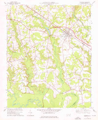
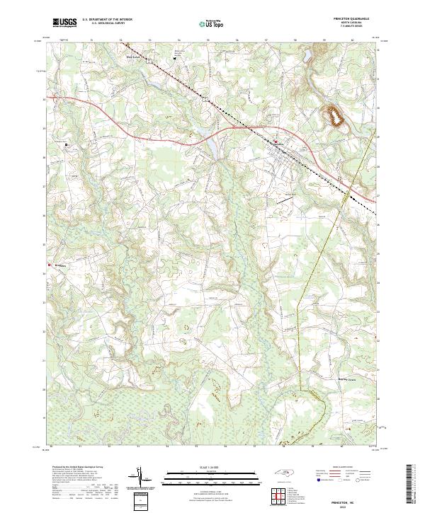
Princeton and Pine Level anchor this modern-era study of the rural landscape along the eastern edge of Johnston County. The terrain is defined by the slow-moving waters of the Neuse River at the southern boundary and the Little River to the north, with the intricate drainages of Quincosin Swamp and Raccoon Swamp filling the lowlands between settlements. The map illustrates a region where established towns like Raynor Town and Brogden are surrounded by a dense network of family-named routes and rural properties.
Find a feature on this map
101 named features on this map. Tap any name to fly to it.
Don’t see what you’re looking for? This feature index may not catch every label — zoom into the map to look around manually.
Map Details
Editions of this 2022 Princeton Map
This is the sole edition of this map. No revisions or reprints were ever made.