2023 Map of Princeton
USGS Topo · Published 2023About this map
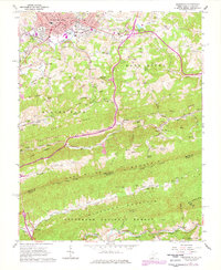
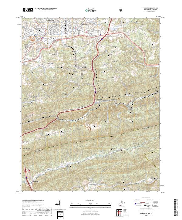
The Mercer County Courthouse serves as the focal point for Princeton, a city whose layout is defined by the intersection of early transportation routes and the winding Brush Creek. In this modern topographic record, the urban center of the county seat transitions into smaller neighborhoods and outlying areas like Lilly Grove and the strikingly named Stumpy Bottom. To the south, the landscape is dominated by the massive ridge of East River Mtn, which also serves as the jurisdictional divide between Mercer and Bland counties and the state line between West Virginia and Virginia. A significant portion of the southern terrain is preserved within the Jefferson National Forest, where deep ravines like Opossum Hollow cut through the high ridges. Numerous family and community burial sites, including the Tynes and Ferguson Cem and Shumate Cem, are scattered across the valley floors and hillsides, reflecting a long history of local settlement.
Find a feature on this map
124 named features on this map. Tap any name to fly to it.
Don’t see what you’re looking for? This feature index may not catch every label — zoom into the map to look around manually.
Map Details
Editions of this 2023 Princeton Map
This is the sole edition of this map. No revisions or reprints were ever made.