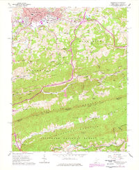
1962 Map of Princeton
USGS Topo · Published 1978About this map
Princeton serves as a significant hub for rail and commerce, anchored by the Norfolk And Western railroad and the presence of the Princeton High Sch and Courthouse. The city's geography is defined by its transition from urban blocks to the sprawling ridge-and-valley terrain of the Jefferson National Forest. Notable landmarks such as the Princeton Airport and Roselawn Memorial Gardens sit on the city's outskirts, while the northern residential expansion reaches toward Lilly Grove. The landscape is characterized by a dense network of family cemeteries and local worship centers like Stinson Ch and Johnston Chapel, reflecting the generational roots of the Appalachian communities nestled between Stony Ridge and East River Mountain. To the south, the map details the rugged border area where Mercer and Bland counties meet, centered around the Wolf Creek valley.
Find a feature on this map
123 named features on this map. Tap any name to fly to it.
Don’t see what you’re looking for? This feature index may not catch every label — zoom into the map to look around manually.
Map Details
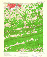
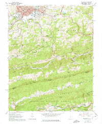
Editions of this 1962 Princeton Map
3 editions found
Other maps of this area

1887 · Pocahontas
USGS Topo · 1:125,000

1890 · Dublin
USGS Topo · 1:125,000

1891 · Pocahontas
USGS Topo · 1:125,000

1891 · Dublin
USGS Topo · 1:125,000

1894 · Pocahontas
USGS Topo · 1:125,000

1895 · Pocahontas
USGS Topo · 1:125,000

1913 · Peterstown
USGS Topo · 1:48,000

1913 · Bluefield
USGS Topo · 1:48,000

1916 · Bluefield
USGS Topo · 1:62,500

1916 · Peterstown
USGS Topo · 1:62,500