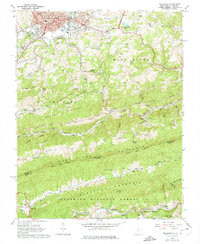
1962 Map of Princeton
USGS Topo · Published 1974About this map
Princeton serves as the focal point of this regional study, showing the city's development alongside the Norfolk and Western rail lines during the early 1960s. The urban grid includes civic anchors like the Courthouse and City Hall, while residential outskirts reach toward Lilly Grove and the neighborhood of Stumpy Bottom. Beyond the city, the landscape is defined by the steep parallel ridges of Beaver Pond Ridge and Stony Ridge, which channel local transit and agriculture into narrow valleys.
Find a feature on this map
125 named features on this map. Tap any name to fly to it.
Don’t see what you’re looking for? This feature index may not catch every label — zoom into the map to look around manually.
Map Details
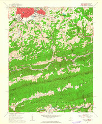
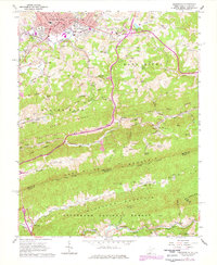
Editions of this 1962 Princeton Map
3 editions found
Other maps of this area

1887 · Pocahontas
USGS Topo · 1:125,000

1890 · Dublin
USGS Topo · 1:125,000

1891 · Pocahontas
USGS Topo · 1:125,000

1891 · Dublin
USGS Topo · 1:125,000

1894 · Pocahontas
USGS Topo · 1:125,000

1895 · Pocahontas
USGS Topo · 1:125,000

1913 · Peterstown
USGS Topo · 1:48,000

1913 · Bluefield
USGS Topo · 1:48,000

1916 · Bluefield
USGS Topo · 1:62,500

1916 · Peterstown
USGS Topo · 1:62,500