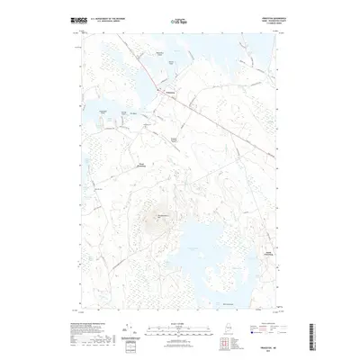
2021 Map of Princeton
USGS Topo · Published 2021About this map
Princeton serves as the hub of this Washington County landscape, positioned at a narrow land bridge between Big Lake and The Basin. This geographic bottleneck, known as The Narrows, historically dictated the flow of transport and settlement in the region. The map reveals a distinct pattern of small hamlets and landings including West Princeton and South Princeton, along with important local landmarks like the Princeton Municipal Airport and Princeton Cem.
Find a feature on this map
62 named features on this map. Tap any name to fly to it.
Don’t see what you’re looking for? This feature index may not catch every label — zoom into the map to look around manually.
Map Details
Editions of this 2021 Princeton Map
This is the sole edition of this map. No revisions or reprints were ever made.
Other maps of this area

1929 · Calais
USGS Topo · 1:48,000

1932 · Calais
USGS Topo · 1:62,500

1940 · Waite
USGS Topo · 1:62,500

1940 · Kellyland
USGS Topo · 1:62,500

1941 · Big Lake
USGS Topo · 1:62,500

1942 · Kellyland
USGS Topo · 1:62,500

1942 · Waite
USGS Topo · 1:62,500

1943 · Big Lake
USGS Topo · 1:62,500

1952 · Big Lake
USGS Topo · 1:50,000

1957 · Fredericton
USGS Topo · 1:250,000