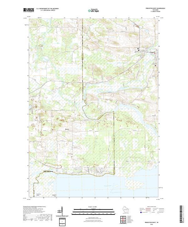
2022 Map of Princeton West
USGS Topo · Published 2022About this map
Puckaway Lake anchors the southern boundary of this region, where the marshy wetlands of the Fox River valley meet the shifting county lines of Marquette and Green Lake. The Fox River meanders across the eastern half of the sheet, feeding into a complex network of waterways including the Mill Race near Princeton. This town serves as the primary settlement hub, positioned at the junction of W Main St and N Farmer St, surrounded by several significant burial grounds including Princeton Cem and Saint Johns Catholic Cem.
Find a feature on this map
77 named features on this map. Tap any name to fly to it.
Don’t see what you’re looking for? This feature index may not catch every label — zoom into the map to look around manually.
Map Details
Editions of this 2022 Princeton West Map
This is the sole edition of this map. No revisions or reprints were ever made.
Historical Maps of Princeton Through Time
8 maps found
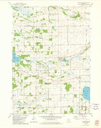
1980 Manchester
Green Lake County, WI
1984 Fairburn
Green Lake County, WI
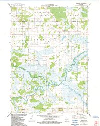
1984 Princeton East
Green Lake County, WI
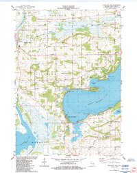
1984 Princeton West
Green Lake County, WI
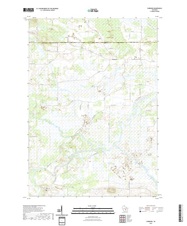
2022 Fairburn
Green Lake County, WI
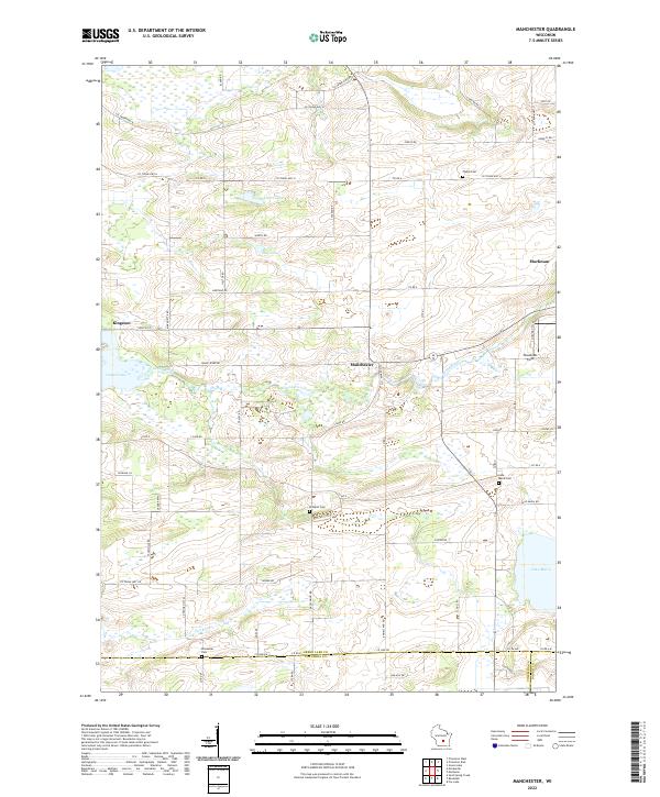
2022 Manchester
Green Lake County, WI
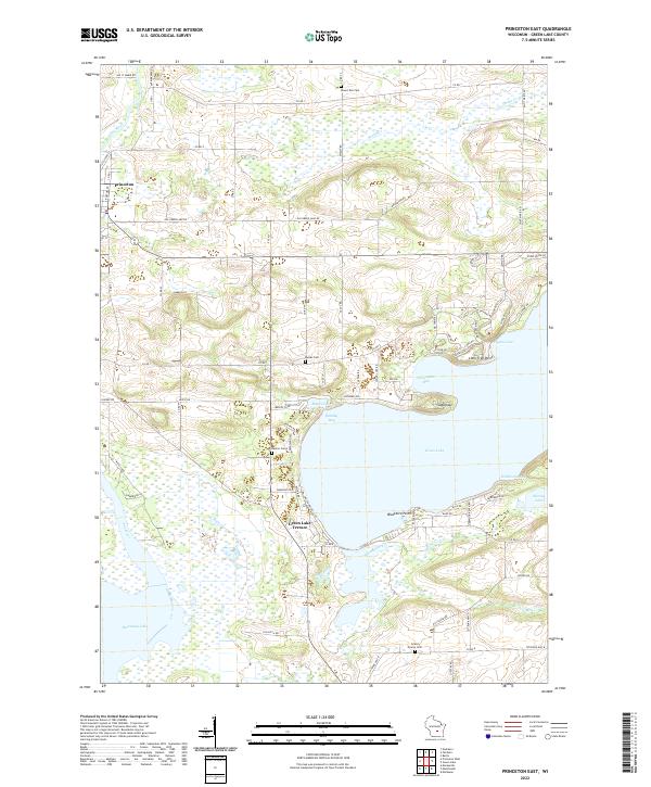
2022 Princeton East
Green Lake County, WI
2022 Princeton West
Green Lake County, WI