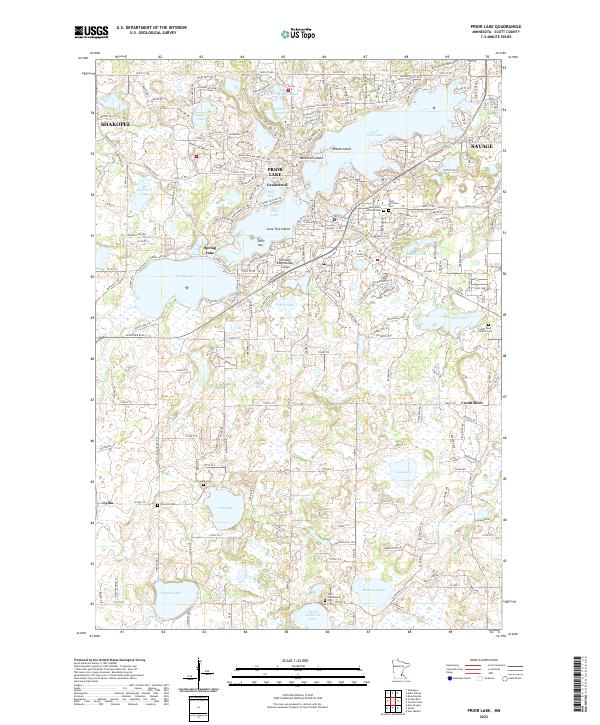
2022 Map of Prior Lake
USGS Topo · Published 2022About this map
Upper Prior Lake and Lower Prior Lake anchor this suburban and rural landscape in Scott County, where the transition from dense residential development to open wetland and farmland is clearly defined. The area around Prior Lake and Grainwood shows a complex network of residential streets and shoreline properties, including several notable islands like Reeds Island and Lone Tree Island. To the south, the terrain opens into a more rural character around the small settlement of Lydia, where the grid of county roads connects scattered farmsteads and agricultural plots.
Find a feature on this map
77 named features on this map. Tap any name to fly to it.
Don’t see what you’re looking for? This feature index may not catch every label — zoom into the map to look around manually.
Map Details
Editions of this 2022 Prior Lake Map
This is the sole edition of this map. No revisions or reprints were ever made.
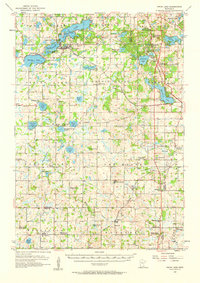
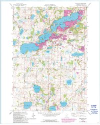
Historical Maps of Skape Through Time
3 maps found