Loading...
Loading map...2022 Map of Protection
USGS Topo · Published 2022About this map
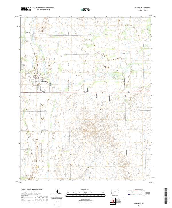
The town of Protection serves as the central hub of this Comanche County landscape, situated where the high plains are dissected by the headwaters of Cavalry Cr, Bluff Cr, and Kiowa Cr. The street grid is clearly defined, with major thoroughfares like S Broadway Ave and N Jefferson Ave anchoring the settlement. To the northwest, the Protection Cem sits apart from the residential blocks, reflecting the organized layout typical of Western Kansas railroad towns.
Find a feature on this map
37 named features on this map. Tap any name to fly to it.
Don’t see what you’re looking for? This feature index may not catch every label — zoom into the map to look around manually.
Map Details
Date Portrayed2022
Date Published2022
PublisherU.S. Geological Survey
Map TypeTopographic
Scale1:24000
Physical Dimensions24 x 29 inches
Editions of this 2022 Protection Map
This is the sole edition of this map. No revisions or reprints were ever made.
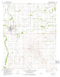
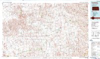
Historical Maps of Protection Through Time
3 maps found
Featured Locations
Source Details
SourceU.S. Geological Survey
CopyrightPublic Domain