2024 Map of Provencal
USGS Topo · Published 2024About this map
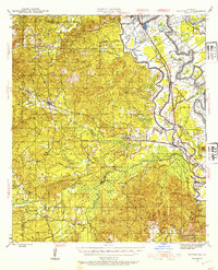
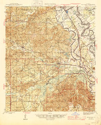
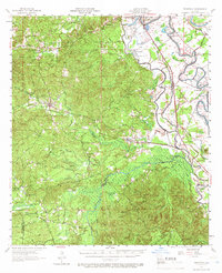
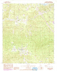
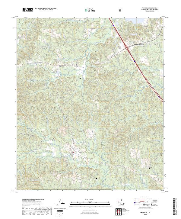
The village of Provencal serves as a central hub in this Natchitoches Parish landscape, where the local economy and settlement patterns are historically dictated by a dense network of bayous and creeks. To the north, Hagewood and the southern reaches of Natchitoches sit near the shores of Sibley Lake, while the western terrain is defined by the hills around Victoria. The map reveals a land heavily crisscrossed by small watercourses like Bayou Provencal, Bayou Souris, and Stacy Mill Branch, illustrating the complex drainage of the Red River valley.
Find a feature on this map
86 named features on this map. Tap any name to fly to it.
Don’t see what you’re looking for? This feature index may not catch every label — zoom into the map to look around manually.
Map Details
Editions of this 2024 Provencal Map
This is the sole edition of this map. No revisions or reprints were ever made.
Historical Maps of Victoria Through Time
5 maps found