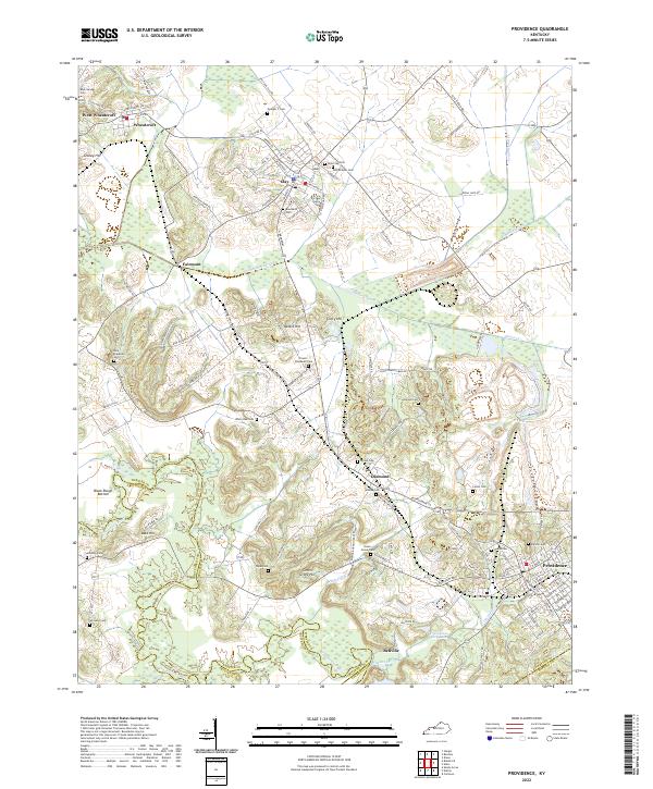
2022 Map of Providence
USGS Topo · Published 2022About this map
Providence and the surrounding coal-country landscape of Webster County are defined by a complex network of industrial and agricultural geography. The town of Clay serves as a central hub, where the L & N Railroad Bed traces the historical path of the Louisville and Nashville Railroad through the region. This 2022 survey captures a transition in land use, showing the proximity of active mining areas like the Fairmont Mine Rd and Othawia Mine to established residential communities.
Find a feature on this map
127 named features on this map. Tap any name to fly to it.
Don’t see what you’re looking for? This feature index may not catch every label — zoom into the map to look around manually.
Map Details
Editions of this 2022 Providence Map
This is the sole edition of this map. No revisions or reprints were ever made.
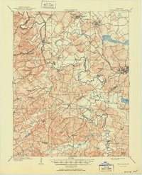
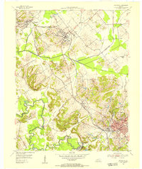
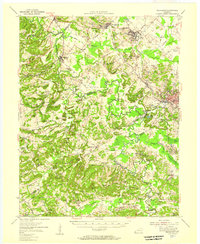
Historical Maps of Bellville Through Time
4 maps found