Loading...
Loading map...2021 Map of Purdy
USGS Topo · Published 2021About this map
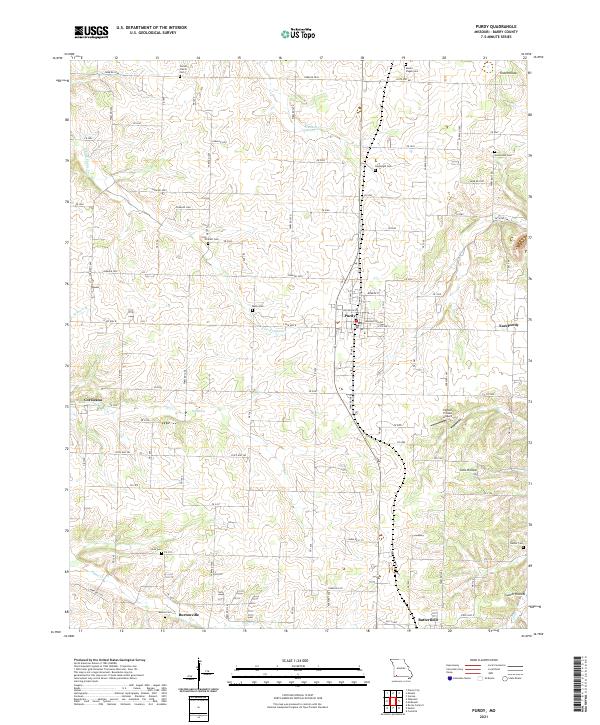
Purdy serves as the central hub of this Missouri landscape, where a dense grid of residential streets and the N City Hwy 37 corridor anchor the local economy. The surrounding rural landscape is defined by its deep genealogical roots, marked by numerous small burial grounds including Stones Prairie Cem, Mount Pisgah Cem, and Goodnight Cem. These sites, often situated near family-named landmarks like Todd Hollow and Gunter Hollow, speak to generations of settlement in Barry County.
Find a feature on this map
80 named features on this map. Tap any name to fly to it.
Don’t see what you’re looking for? This feature index may not catch every label — zoom into the map to look around manually.
Map Details
Date Portrayed2021
Date Published2021
PublisherU.S. Geological Survey
Map TypeTopographic
Scale1:24000
Physical Dimensions24 x 29 inches
Editions of this 2021 Purdy Map
This is the sole edition of this map. No revisions or reprints were ever made.
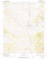
Historical Maps of Purdy Through Time
Featured Locations
Source Details
SourceU.S. Geological Survey
CopyrightPublic Domain