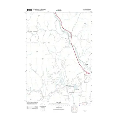
2012 Map of Quechee
USGS Topo · Published 2012About this map
The White River and Ottauquechee River carve through the Windsor County landscape, defining the layout of historic Vermont hamlets. In the southern portion of the map, the famous Quechee Gorge Bridge and Quechee Covered Bridge span the rocky waterway, marking a village center that balances recreation at the Lakeland Golf Course with its industrial heritage at Deweys Mills. To the west, the Taftsville Covered Bridge remains a focal point for the settlement of Taftsville, situated near the Taftsville Cemetery.
Find a feature on this map
127 named features on this map. Tap any name to fly to it.
Don’t see what you’re looking for? This feature index may not catch every label — zoom into the map to look around manually.
Map Details
Editions of this 2012 Quechee Map
This is the sole edition of this map. No revisions or reprints were ever made.
Other maps of this area

1896 · Strafford
USGS Topo · 1:62,500

1906 · Hanover
USGS Topo · 1:62,500

1908 · Hanover
USGS Topo · 1:62,500

1911 · Woodstock
USGS Topo · 1:62,500

1913 · Woodstock
USGS Topo · 1:62,500

1919 · Royalton
USGS Topo · 1:62,500

1924 · Randolph
USGS Topo · 1:48,000

1926 · Randolph
USGS Topo · 1:62,500

1943 · Woodstock
USGS Topo · 1:62,500

1944 · Strafford
USGS Topo · 1:62,500