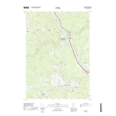
2018 Map of Quechee
USGS Topo · Published 2018About this map
The White River and Ottauquechee River carve through this Windsor County landscape, anchoring a network of valley settlements and historic crossings. The southern portion of the map is defined by the industrial and community legacy of Quechee, where the Quechee Covered Bridge and Deweys Pond reflect a landscape shaped by water power and travel. To the west, the village of Taftsville sits at another critical bend in the river, marked by the Taftsville Covered Bridge and its namesake Taftsville Cem.
Find a feature on this map
65 named features on this map. Tap any name to fly to it.
Don’t see what you’re looking for? This feature index may not catch every label — zoom into the map to look around manually.
Map Details
Editions of this 2018 Quechee Map
This is the sole edition of this map. No revisions or reprints were ever made.
Other maps of this area

1896 · Strafford
USGS Topo · 1:62,500

1906 · Hanover
USGS Topo · 1:62,500

1908 · Hanover
USGS Topo · 1:62,500

1911 · Woodstock
USGS Topo · 1:62,500

1913 · Woodstock
USGS Topo · 1:62,500

1919 · Royalton
USGS Topo · 1:62,500

1924 · Randolph
USGS Topo · 1:48,000

1926 · Randolph
USGS Topo · 1:62,500

1943 · Woodstock
USGS Topo · 1:62,500

1944 · Strafford
USGS Topo · 1:62,500